High Resolution Imagery Samples


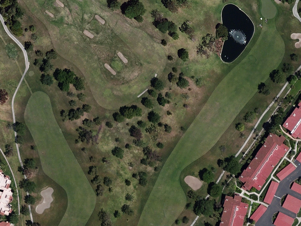


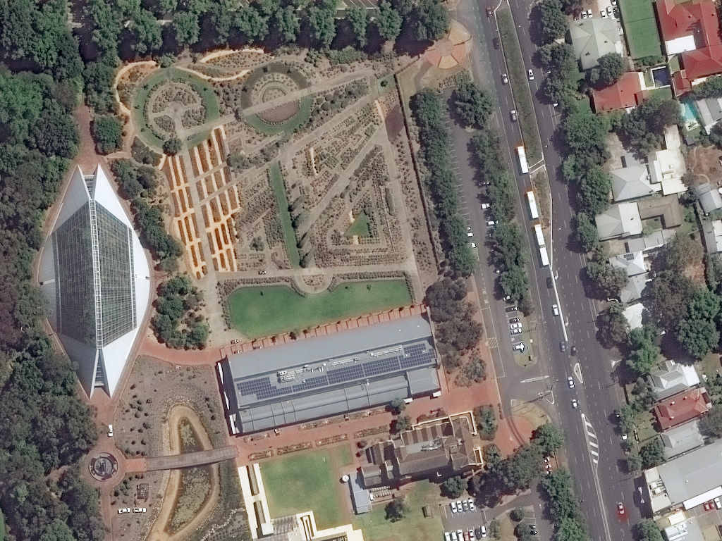

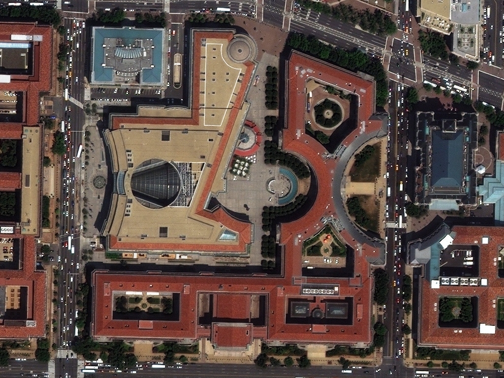

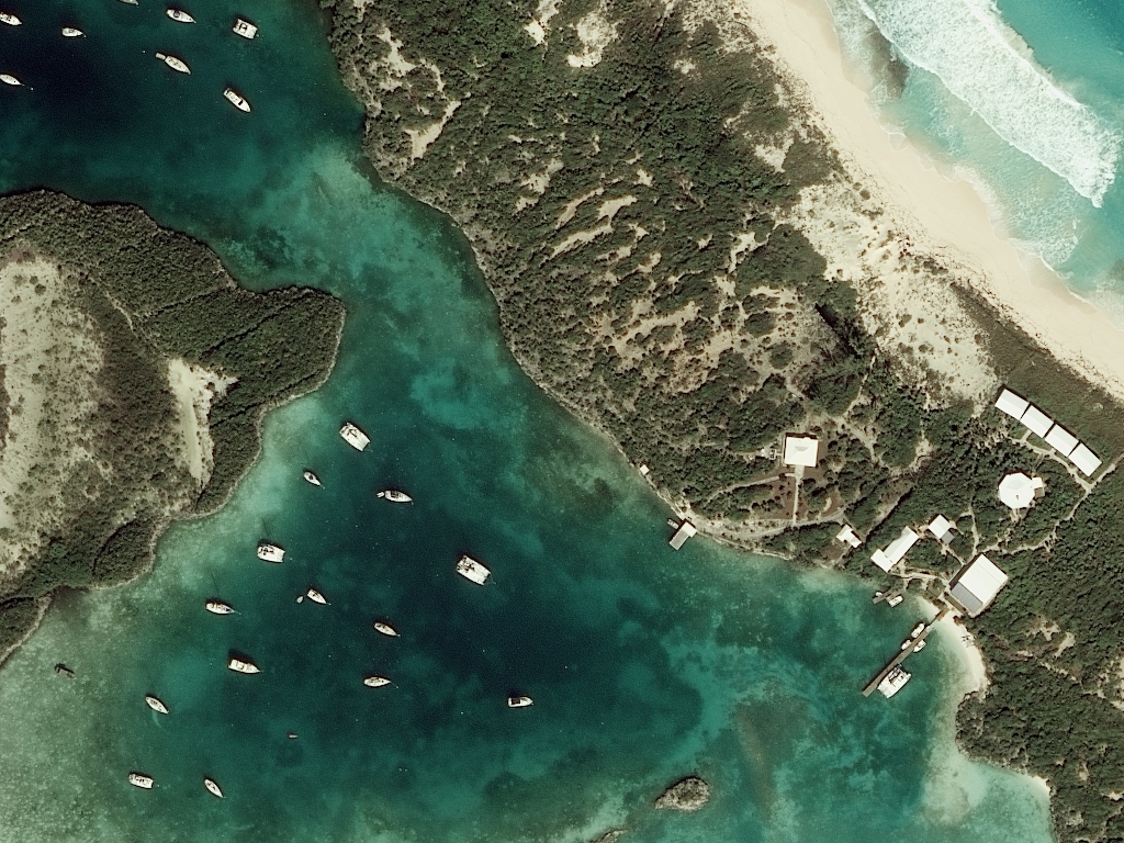


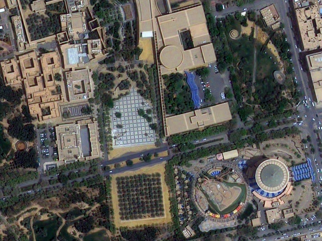
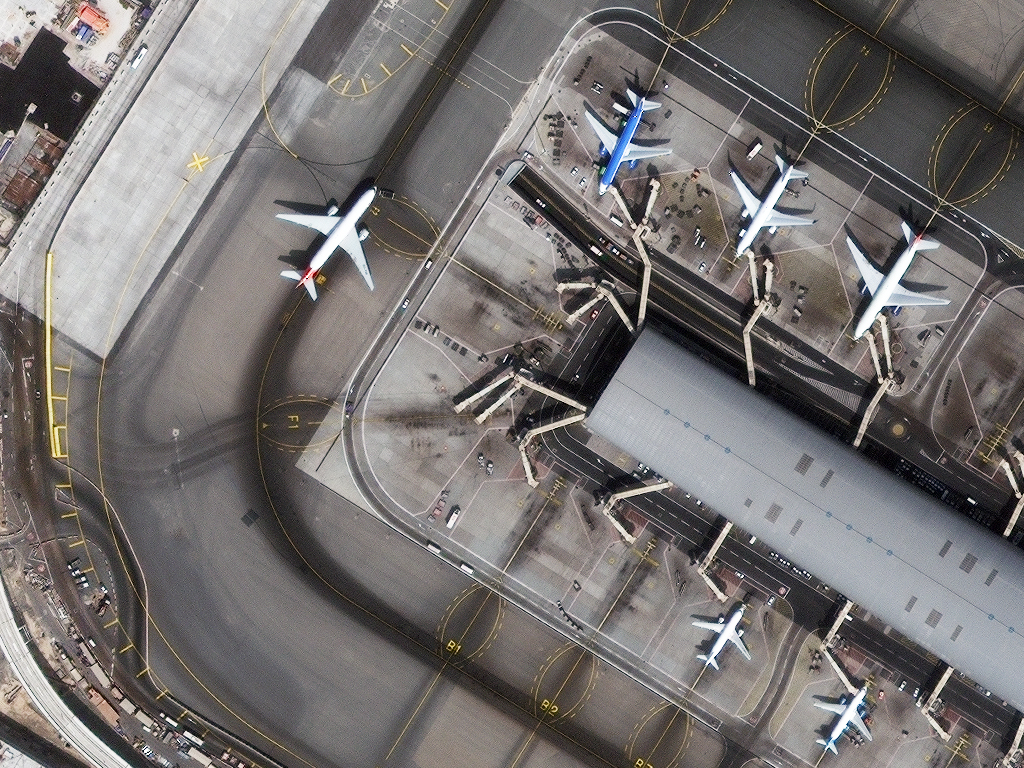

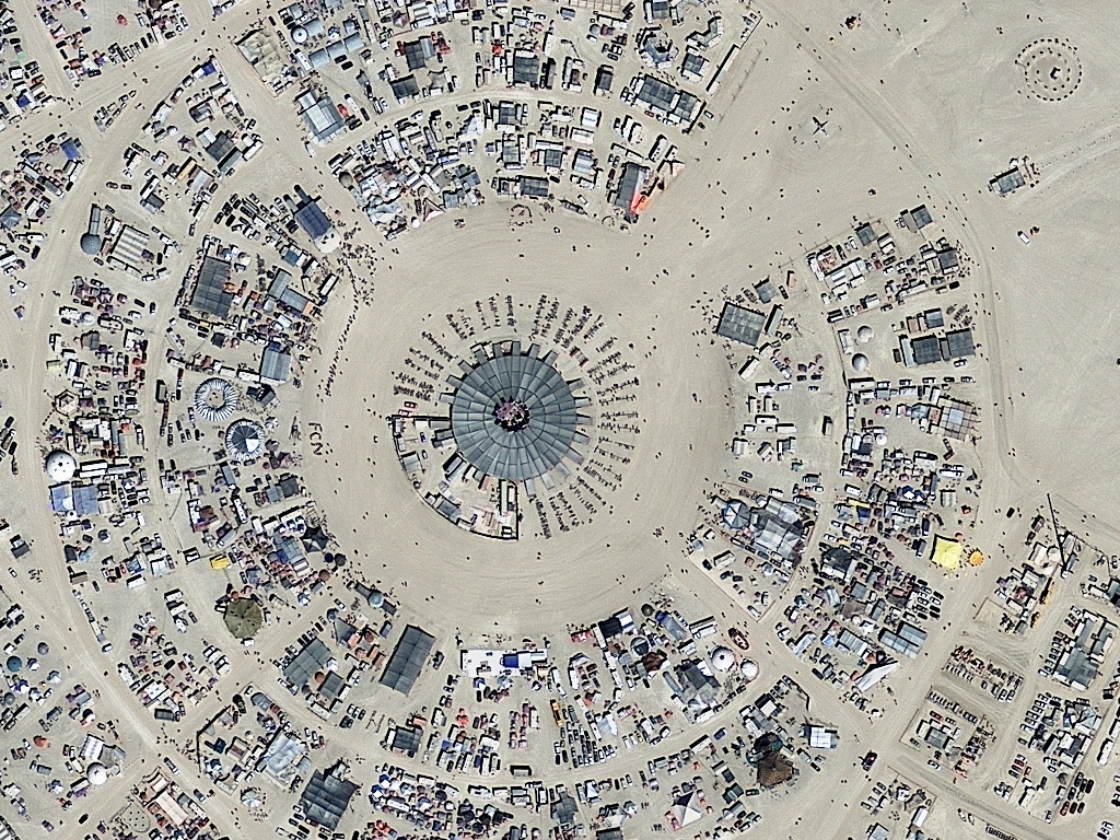


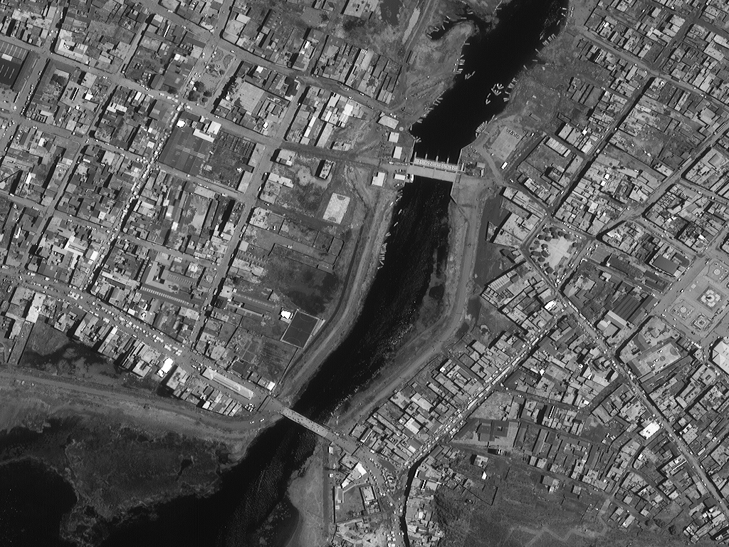


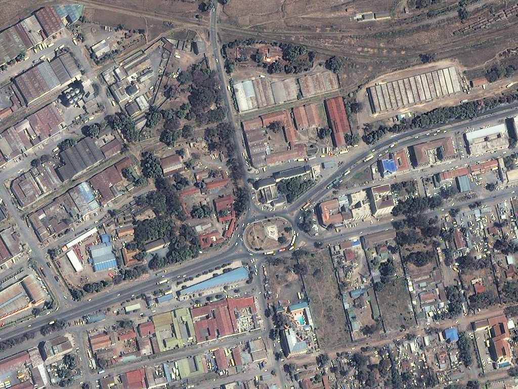
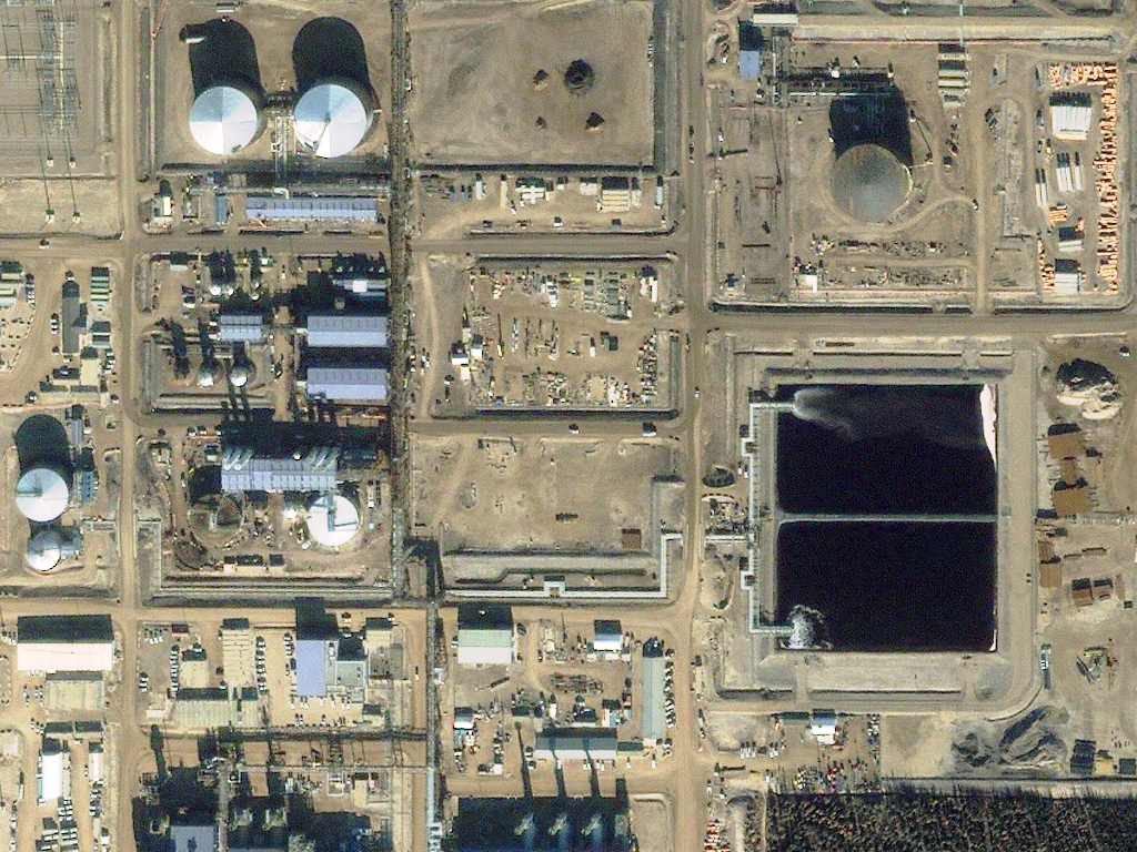

Click on the expand button for a larger view of each image. You can also right-click and save any of the examples to your computer for a full resolution view.
Our High Resolution Sensors
| Sensor Name | Sensor Type | Spectral Bands | Sensor Resolution | Potential Coverage Area |
|---|---|---|---|---|
| Digital Aerial | Airplane | Natural color CIR 4-band MS | 15-cm 30-cm 60-cm | Continental US + Western Europe |
| Pléiades Neo | Satellite constellation | Pan 6-band MS | 30-cm 1.2-m | Global |
| SuperView NEO-1 | Satellite constellation | Pan 4-band MS | 30-cm 1.2-m | Global |
| Jilin-1 | Satellite constellation | Pan 4/5-band MS Color nighttime Color video | 30-cm to 1.06-m 1.2-m to 4.24-m 92-cm to 1.2-m 92-cm to 1.2-m | Global |
| WorldView-4 | Satellite | Pan 4-band MS | 31-cm 1.24-m | Global |
| WorldView-3 | Satellite | Pan 8-band MS 8-band SWIR | 31-cm 1.24-m 3.71-m | Global |
| SuperView-2 | Satellite | Pan 4-band MS | 40-cm 1.6-m | Global |
| GeoEye-1 | Satellite | Pan 4-band MS | 41-cm 1.65-m | Global |
| WorldView-2 | Satellite | Pan 8-band MS | 46-cm 1.85-m | Global |
| WorldView-1 | Satellite | Pan | 50-cm | Global |
| SuperView-1 | 4 satellite constellation | Pan 4-band MS | 50-cm 2-m | Global |
| BJ3A | Satellite | Pan 4-band MS | 50-cm 2-m | Global |
| SkySat | Microsats | Pan 4-band MS | 50-cm (72-cm to 90-cm, older images) 1-m | Global |
| KOMPSAT-3A | Satellite | Pan 4-band MS | 55-cm (sold as 40-cm) 2.2-m (sold as 1.6-m) | Global |
| Quickbird | Satellite | Pan 4-band MS | 60-cm 2.4-m | Global |
| Pléiades 1A/1B | 2 satellite constellation | Pan 4-band MS | 70-cm (sold as 50-cm) 2.8-m (sold as 2-m) | Global |
| KOMPSAT-3 | Satellite | Pan 4-band MS | 70-cm (available as 50-cm) 2.8-m (available as 2-m) | Global |
| EROS B | Satellite | Pan | 70-cm | Global |
| GEOSAT-2 | Satellite | Pansharpened Pan 4-band MS | 75-cm 1-m 4-m | Global |
| IKONOS | Satellite | Pan 4-band MS | 80-cm 3.2-m | Global |
| GaoFen-2 | Satellite | Pan 4-band MS | 81-cm 3.24-m | Global |
| OVS-3 | Satellite | Natural color | 90-cm (OVS-1, 1.9-m; OVS-2, 90-cm) | Global |
| TripleSat | 4 satellite constellation | Pan 4-band MS | 96-cm (sold as 80-cm) 3.84-m (sold as 3.2-m) | Global |
| KazEOSat-1 | Satellite | Pan 4-band MS | 1-m 4-m | Global |
| TeLEOS-1 | Satellite | Pan | 1-m | Near equatorial orbit - 15° N to 15° S |
| KOMPSAT-2 | Satellite | Pan 4-band MS | 1-m 4-m | Global |
What exactly does high resolution imagery really mean? While the term is used frequently, it is rarely defined. Here at Apollo Mapping, we define high resolution imagery as having 1 meter (m) or better resolution.
For most high resolution sensors, the panchromatic (or black and white) band has 1-meter or better resolution. If the sensor collects multispectral (or red, green, blue, etc.) data simultaneously, which is more common than not, these images have a resolution which is two or four times that of the panchromatic band.
How long will it take to receive my imagery? We get this question all the time. The answer is that it depends on a few variables, but one of the main factors is whether we can find your imagery in an archive or if we will have to place a tasking order.
Tasking Order
![]() A tasking order is an on-demand service whereby clients define a custom polygon on the planet to be imaged by the next available high resolution satellite. The time to collect this area of interest is controlled by local weather conditions and competition from surrounding tasking orders.
A tasking order is an on-demand service whereby clients define a custom polygon on the planet to be imaged by the next available high resolution satellite. The time to collect this area of interest is controlled by local weather conditions and competition from surrounding tasking orders.
Archive Order
![]() An archive order relies on a historic database of high resolution imagery with a specific time/date stamp and known cloud cover. Clients are able to browse available data with the assistance of Apollo Mapping to determine the best imagery for their intended applications.
An archive order relies on a historic database of high resolution imagery with a specific time/date stamp and known cloud cover. Clients are able to browse available data with the assistance of Apollo Mapping to determine the best imagery for their intended applications.
When to use high resolution imagery
The uses of high resolution imagery are as vast as the human imagination. Here is a list of several situations when it makes the most sense to use high resolution imagery:
-
 Plan the location of a solar and/or wind farm
 - Assess the health of urban forest canopies
- Construct accurate topographic models
- Digitize surface cracks on rapidly melting glaciers
- Plan field survey locations and methodology
- Model the environmental impacts of a new housing community, particularly on the local plant species
- Trace footpaths and roadways in rural and urban environments
- Assess the amount of new building in an urban environment via change detection
