Buy 80-cm IKONOS Satellite Imagery - Apollo Mapping

IKONOS Satellite

IKONOS satellite was the first high-resolution satellite launched in 1999 with 80-cm pixels and 4-band imagery.

Browse Satellites

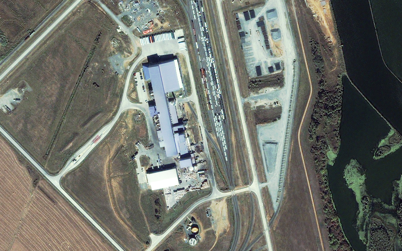
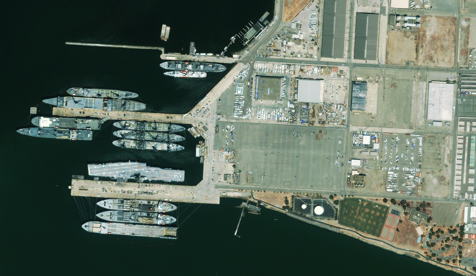
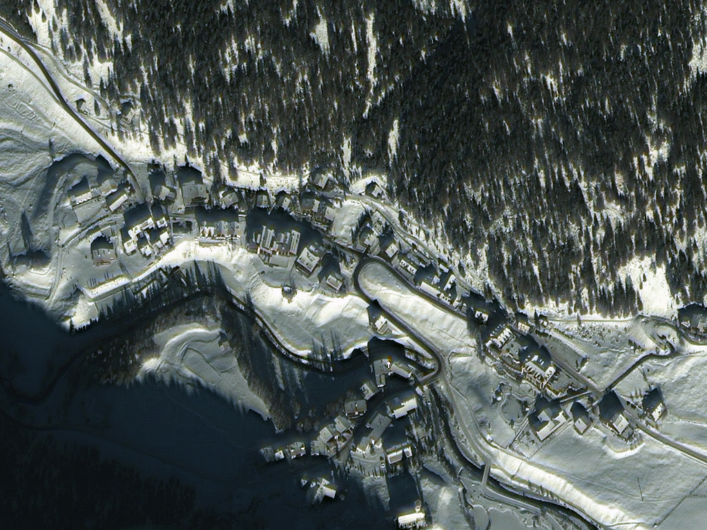
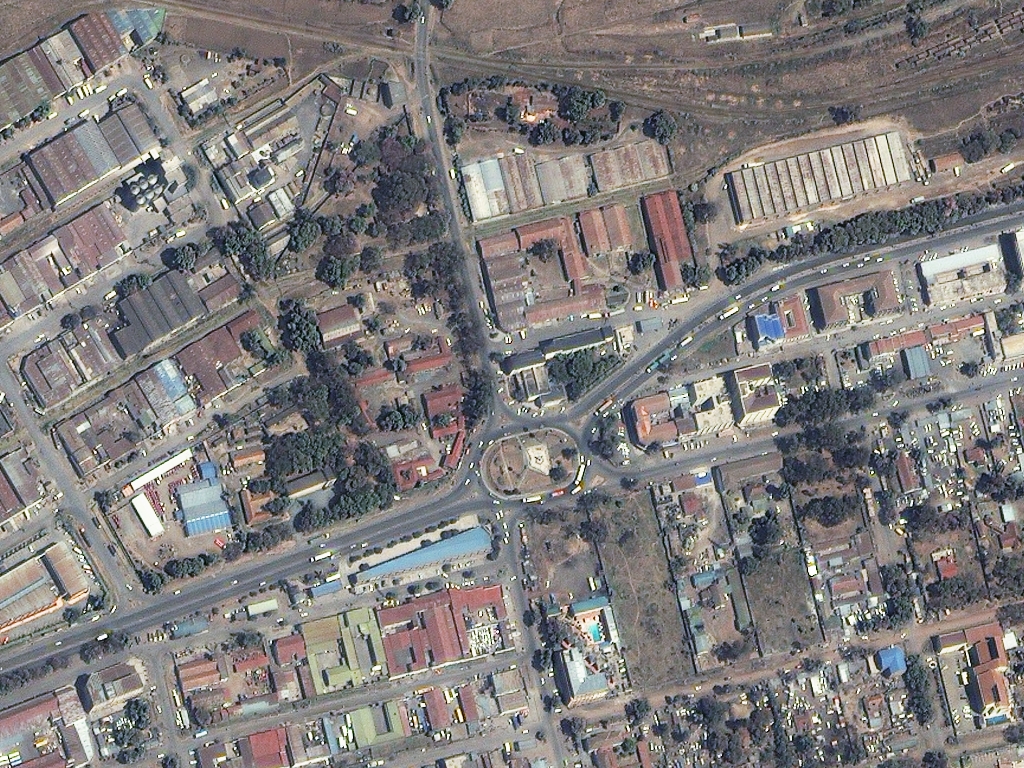
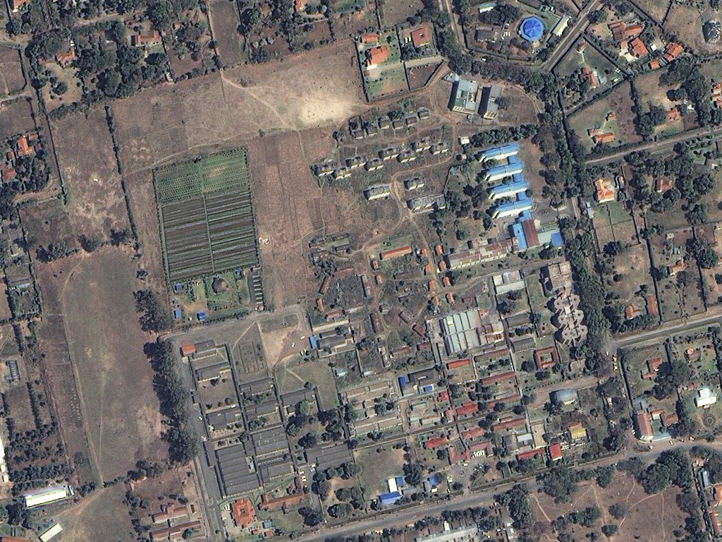
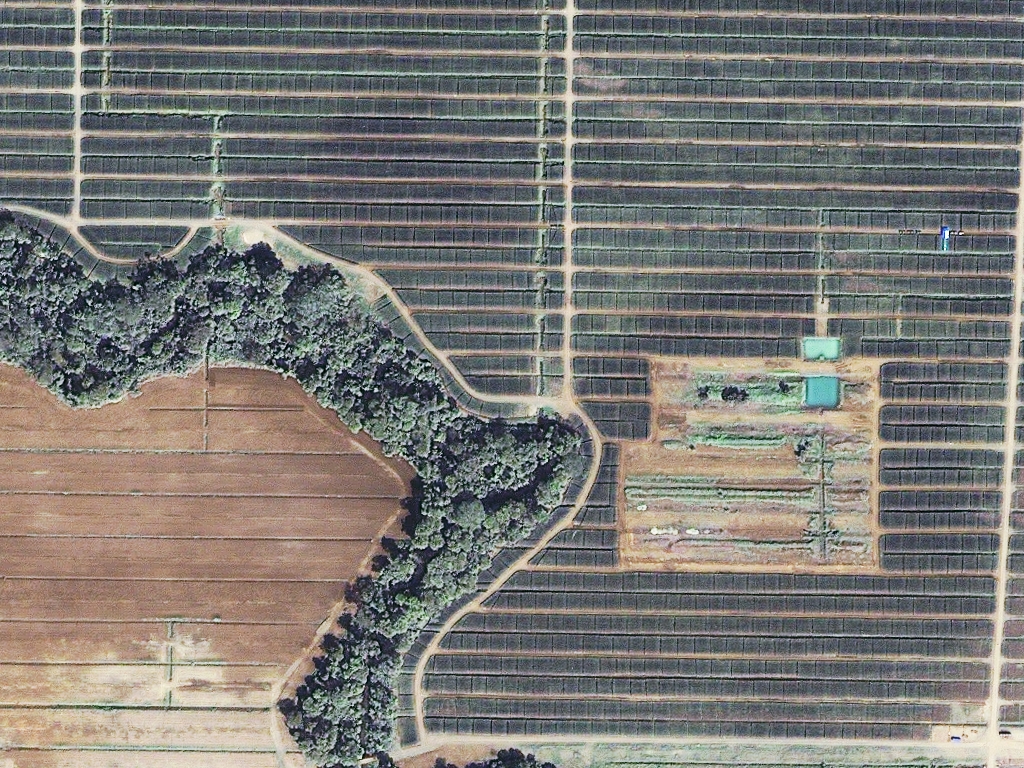
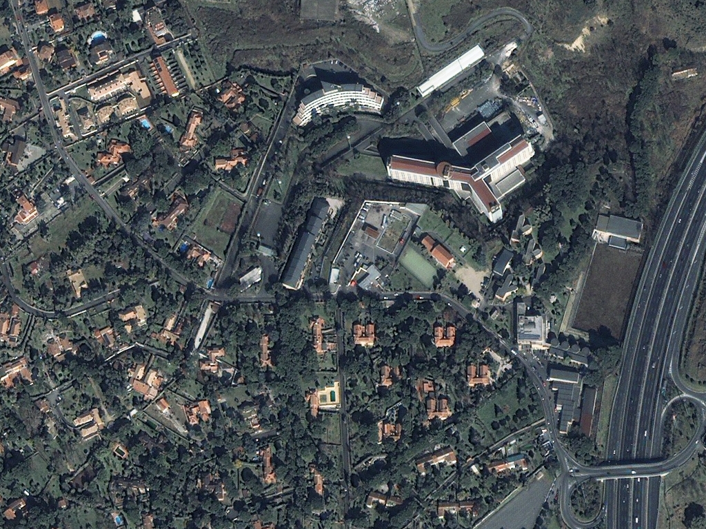
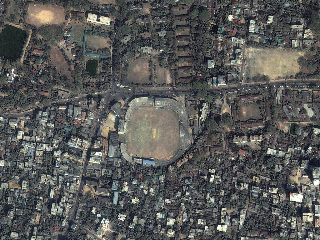
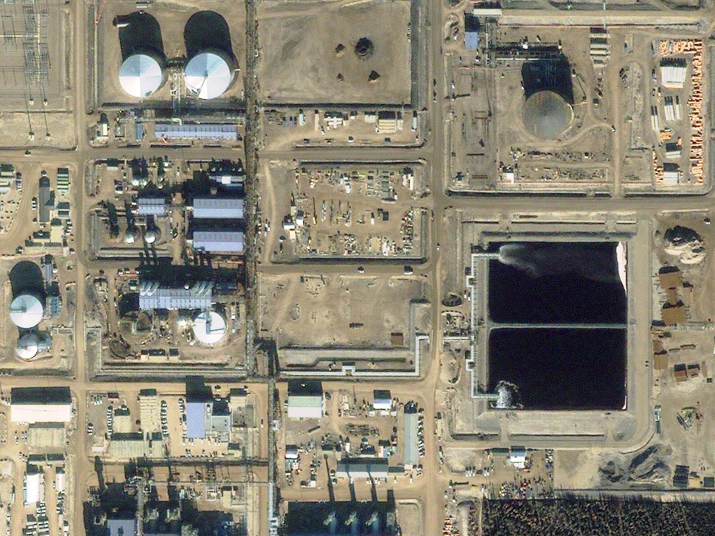
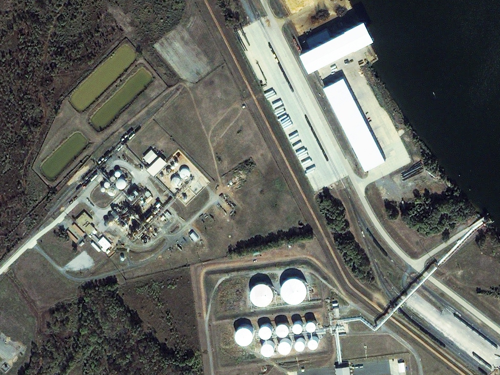
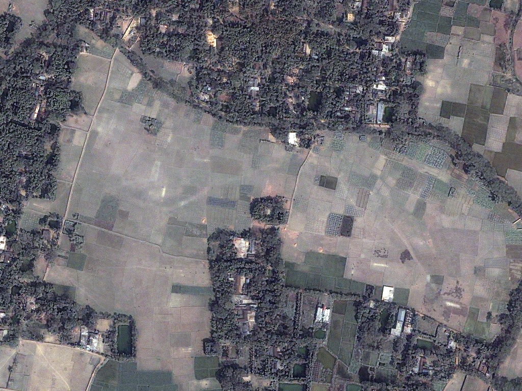
IKONOS Satellite Imagery Samples

IKONOS 80-cm Natural Color - Granada, Spain; July 28, 2002
IKONOS 80-cm Natural Color - Shreveport, Louisiana; October 16, 2011
IKONOS 80-cm Natural Color - Oakland, California
IKONOS 80-cm Natural Color - Solda, Italy; December 13, 2006
IKONOS 80-cm Natural Color - Nakuru, Kenya; February 2, 2008
IKONOS 80-cm Natural Color - Rural Costa Rica; February 12, 2011
IKONOS 80-cm Natural Color - Rome, Italy; February 24, 2011
IKONOS 80-cm Natural Color - Bangalore, India; February 12, 2011
IKONOS 80-cm Natural Color - Alberta, Canada; October 16, 2011
IKONOS 80-cm Natural Color - Shreveport, Louisiana; October 16, 2011
IKONOS 80-cm Natural Color - Bangalore, India; February 12, 2011

Click on the expand button for a larger view of each image. You can also right-click and save any of the examples to your computer for a full resolution view.


The IKONOS Advantage

High Agility
Launched in 1999, IKONOS is still an agile satellite even by today’s standards. We use IKONOS to task imagery for mapping projects in all parts of the world that require a rapid turnaround.

Archive Back to 1999
IKONOS features the oldest high resolution satellite imagery archive with scenes dating back to 1999 in some locations.

Mapping & Remote Sensing
With 4 high-resolution multispectral bands, IKONOS satellite imagery is appropriate for mapping projects and spectral analysis.

Overview & HistoryIKONOS SpecificationsPricing

IKONOS is the world’s first high-resolution commercially-available satellite with imagery exceeding 1-meter (m) resolution. Launched into space on September 24, 1999 from a pad at Vandenberg Air Force Base, CA, IKONOS was originally owned by Space Imaging and was part of Maxar-DigitalGlobe’s constellation of high resolution satellites at the end of its ‘life’.

IKONOS features 82-centimeter (cm) panchromatic and 3.28-m 4-band multispectral resolution (i.e. blue, green, red and near-infrared/NIR). It orbits our planet at 681 kilometers (km), or the approximate distance from Los Angeles to San Francisco, CA. Until 2007, IKONOS was the industry’s most agile satellite with the ability to image large sections of earth every 3 days.

As of December 20, 2014, IKONOS is no longer collecting new data.

Launch Details
  • Launch Date: September 24, 1999, 2:21 PM EDT
  • Vehicle: Athena 2
  • Site: SLC-2W, Vandenberg Air Force Base, California, USA
  • Last Image Collection Date: December 20, 2014

IKONOS Components
  • Total Instrument Mass: 171 kg
  • Satellite Dimensions: 1.83 m x 1.57 m (hexagonal), 817 kg
  • Solar Array: 1.5 kW, 3 panels
  • Control Systems:
    • Actuators – four reaction wheels
    • Attitude measurement – two star trackers, sun sensor
  • Onboard Storage Capacity: 64 gigabytes, solid state
  • Ground Communication Systems:
    • Imagery downlink – 320 Mbits per second, X-band
    • Maintenance & metadata downlink – 4, 16 and 256 kilobytes per second (Kbps), S-band
    • Tasking & commands uplink – 2 Kbps, S-band
  • Focal Plane:
    • Panchromatic detector array – 13,500 pixels, 12 µm per pixel
    • Multispectral detector array – 3,375 pixels, 48 µm per pixel
  • Optical Sensor Assembly: 70-cm diameter primary mirror, 10-m focal length, 70-cm aperture

Orbit Characteristics
  • Altitude: 681 km
  • Period: 98 minutes
  • Speed:
    • In orbit – 7.5 km per second
    • Over ground – 6.8 km per second
  • Inclination: 98.1°
  • Direction: sun-synchronous circular, north to south (across the lit side of Earth)
  • Equatorial Crossing Time: 10:30 AM local time (approximate; across lit side of Earth)
  • Observation Time: 14 minutes (time on lit side of Earth)
  • Revisit Frequency: (at 40° lat)
    • 3 days (30° off-nadir)
    • 5 days (20° off-nadir)

Imaging System
  • Spectral Bands:
    • Panchromatic
    • 4-band multispectral (blue, green, red and NIR)
  • Sensor Resolution:
    • At nadir – 82-cm panchromatic & 3.2-m multispectral
    • 26° off-nadir – 1.0-m panchromatic & 4.0-m multispectral
    • 35° off-nadir – 1.17-m panchromatic & 4.68-m multispectral
  • Spectral Band Wavelength Range: (in nm)
    • Panchromatic – 526 to 929
    • Blue – 445 to 516
    • Green – 506 to 595
    • Red – 632 to 698
    • NIR – 757 to 853
  • Dynamic Range: 11-bits

Collection Capabilities
  • Footprint Width: 11.3 km (at nadir), 13.8 km (at 26° off-nadir)
  • Retargeting Ability: 18 sec (time to slew 200 km)
  • Daily Collection Capacity: 240,000 sq km
  • Georeferenced Horizontal Accuracy: 15-m CE90 (global average, dependent on terrain)

Below is the least expensive, color IKONOS data offered. Prices increase for new collections and data processing. Note that academic and volume discounts are available.

  • Data Source: archive (greater than 90 days old)
  • Minimum Order Size: 25 sq km (per area & date)
  • Product Type: georeferenced + natural color or 4-band
  • Price Per Sq Km: $10.00 (more detailed pricing can be found here)

For an exact quote, please contact our Sales Team at sales@apollomapping.com.

Completing an atmospheric correction and/or radiance conversion of IKONOS imagery?

Download Whitepaper