
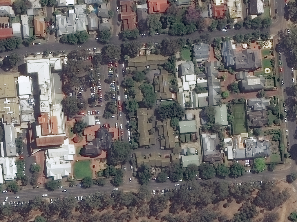
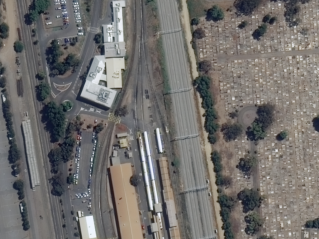
WorldView-3 Satellite Imagery Samples


The WorldView-3 Advantage
Not only is WorldView-3 the highest resolution satellite ever launched, it features 29 spectral bands of remotely sensed data which is nearly 6 times more than any sensor – other than WorldView-2’s 9 bands that is. Boldly going where no satellite has gone before, WorldView-3 offers a high resolution panchromatic band and 8 multispectral bands which are ideal for visual analysis, bathymetric studies and plant health assessments; 8 short-wave infrared bands which are ideal for mineral and hydrocarbon exploration; and 12 CAVIS bands which are ideal for improved atmospheric corrections.
If your project demands the highest resolution imagery available and/or requires spectral analysis, then WorldView-3 should be your first choice. And with an archive that grows by nearly 680,000 square kilometers (sq km) per day, we are sure to have the imagery you need!
Below is the least expensive WorldView-3 data offered. Prices increase for new collections and data processing. Note that academic and volume discounts are available.
- Data Source: archive
- Minimum Order Size: 25 sq km (per area & date)
- Product Type: 30-cm georeferenced + natural color or 4-band (50-cm is offered at a discounted rate)
- Price Per Sq Km: $22.50 (more detailed pricing can be found here)
For an exact quote, please contact our Sales Team at sales@apollomapping.com.
