Buy 3-m PlanetScope Satellite Imagery - Apollo Mapping

PlanetScope Satellite

PlanetScope satellite is making near real-time imagery a reality with its impressive archive of 3-m 3-band, 4-band and 8-band medium-resolution multispectral data.

Browse Satellites

PlanetScope Satellite Imagery Samples

PlanetScope 3-m Natural Color – Montitxelvo, Spain; November 2, 2023
PlanetScope 3-m Natural Color – Derna, Libya; September 15, 2023 (post-flood)
PlanetScope 3-m Natural Color – Carrizo Plain, CA, USA; April 25, 2023
PlanetScope 3-m Natural Color – Kotzebue, Alaska, USA; August 3, 2022
PlanetScope 3-m Natural Color – Northern coast Greenland; July 14, 2022
PlanetScope 3-m Natural Color – Lake Oroville Dam, CA, USA; January 22, 2023
PlanetScope 3-m Natural Color – Mandinari, Gambia; May 25, 2022
PlanetScope 3-m Natural Color – Cerro Azulde Shallapa, Peru; July 11, 2022
PlanetScope 3-m Natural Color – Chemtool Plant Fire, Rockton, IL, USA; June 14, 2021
PlanetScope 3-m Natural Color – Ambalavao, Madagascar; February 14, 2022
PlanetScope 3-m Natural Color – Flooding in Erfstadt, Germany; July 18, 2021
PlanetScope 3-m Natural Color – Three Gorges Dam, China; August 26, 2020
PlanetScope 3-m Natural Color – Birmingham, AB, USA; April 1, 2021
PlanetScope 3-m Natural Color – Fiery Cross; April 16, 2021
PlanetScope 3-m Natural Color – Providencia & Santa Catalina, Colombia; October 17, 2020
PlanetScope 3-m Natural Color – Algiers, Algeria; February 14, 2018
PlanetScope 3-m Natural Color – Port Fourchon, LA, USA - Post Hurricane Ida landfall; September 11, 2021
PlanetScope 3-m Natural Color – Wuhan, China; February 20, 2020
PlanetScope 3-m Natural Color – Freeland, MI, USA; May 20, 2020
PlanetScope 3-m Natural Color – Primorsky Krai, Russia; November 25, 2021
PlanetScope 3-m Natural Color – Laguna Micacocha, Ecuador; February 15, 2019
PlanetScope 3-m Natural Color – New York City, NY, USA; June 20, 2017
PlanetScope 3-m Natural Color – Rutherford, NJ, USA; June 20, 2017
PlanetScope 3-m Natural Color – Birmingham, AB, USA; April 1, 2021
PlanetScope 3-m Natural Color – Lake Tahoe region, CA, USA; May 22, 2023

Click on the expand button for a larger view of each image. You can also right-click and save any of the examples to your computer for a full resolution view.


The PlanetScope Advantage

Near Real-Time
Over 240 PlanetScope Doves orbit our planet every 90 minutes, providing near real-time imagery of most locations.

Massive Collection Capacity
PlanetScope is collecting up to 350 million square kilometers of imagery every day to create a massive archive of global satellite data.

Superior Monitoring
Daily revisits at 3-m resolution is perfect for monitoring the day-to-day movement of many commercial goods and land use changes.

Red Edge Spectral Data
SuperDoves launched since 2019 feature eight spectral bands, including a red edge, which can be valuable for plant health assessments including NDVI calculations.

Overview & HistoryPlanetScope SpecificationsPricing

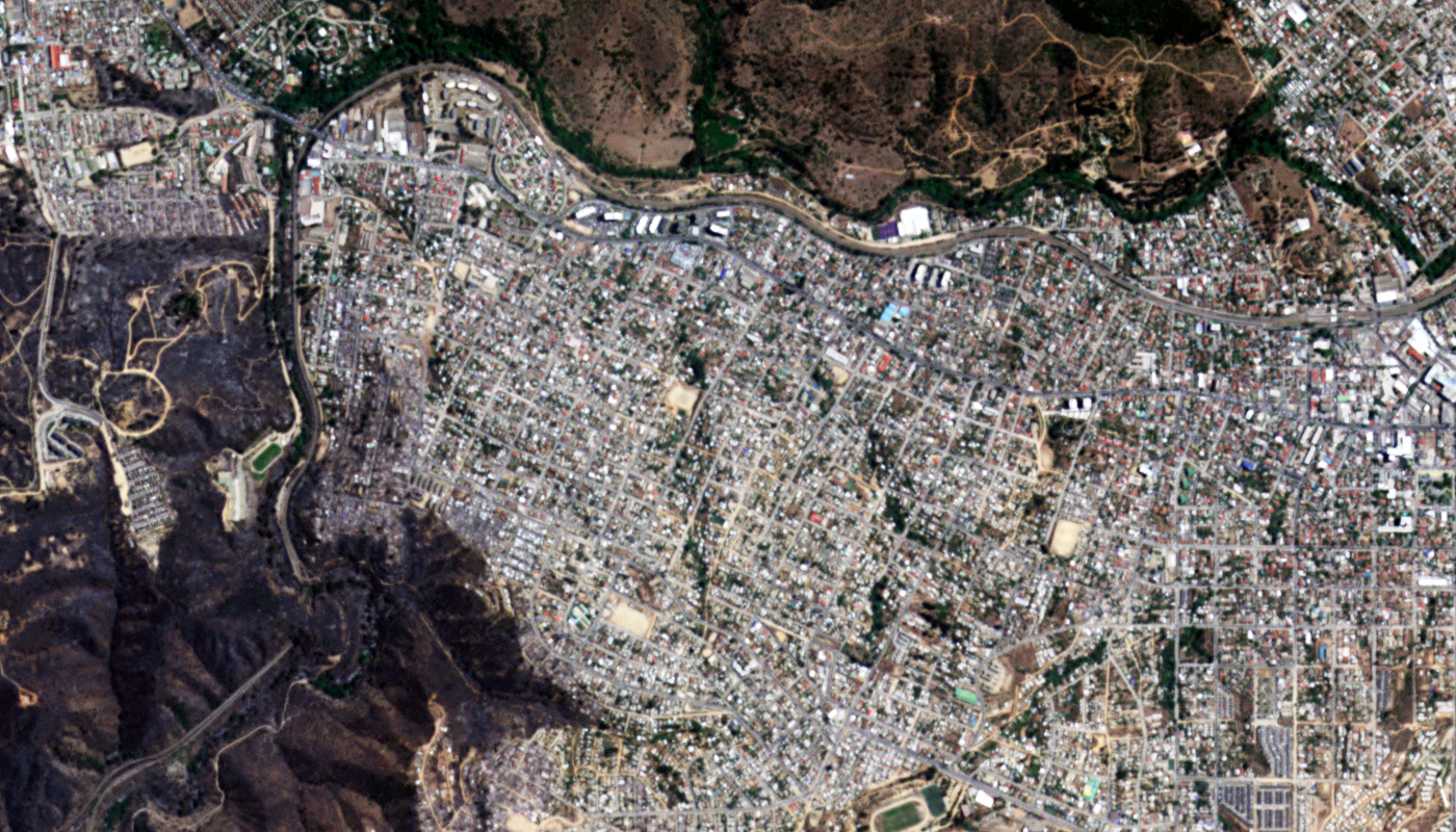
Planet launched their first Dove microsatellites in 2015 with multiple launches in subsequent years. As of 2022, over 240 PlanetScope microsats were orbiting the planet, providing daily imagery of most Earth’s landmass at 3-meter resolution with 4 multispectral bands (i.e. blue, green, red and near-infrared [NIR]). SuperDoves launched since 2019 feature 3-m imagery with 8 multispectral bands, adding in valuable coastal blue and red edge data.

Planet continues to improve their Doves with multiple launches each year – a major differentiator to macrosatellites like WorldView-3 which only improve every 5 to 10 years with each new launch. For instance, Doves commissioned in late 2018 and beyond use new high-performance butcher-block filters which combine consecutive frames to create color and MS composite images. And SuperDoves launched since 2019 have eight spectral bands, including coastal blue and red edge.

Launch Details
  • Launch Date: multiple, clustered Dove microsat launches since 2015
    • Early launches: December 6, 2015, Flock 2e, 6 ISS orbit Doves; March 23, 2016, Flock 2e’, 18 ISS orbit Doves; June 22, 2016, Flock 2p, 9 SSO orbit Doves
    • Middle launches: February 15, 2017, 3:58 UTC, Flock 3p, 71 SSO orbit Doves; July 14, 2017, 6:36 UTC, Flock 2k, 48 SSO orbit Doves; October 31, 2017, 21:37 UTC, Flock 3m, 4 SSO orbit Doves; January 12, 2018, 3:59 UTC, Flock 3p’, 4 tech demo SSO orbit Doves; January 21, 2018, 1:43 UTC, 1 Dove Pioneer SSO orbit
    • PS2.SD launches: November 29, 2018, Flock 3r, 16 Dove Pioneers SSO orbit; December 3, 2018 18:34 UTC, Flock 3s, 3 Dove Pioneers SSO orbit; December 27, 2018, Flock 3k, 12 Dove Pioneers SSO orbit
    • PSB.SD launches: April 1, 2019 03:57 UTC, Flock 4a, 20 SuperDoves SSO orbit; November 26, 2019 03:58 UTC, Flock 4p, 12 SuperDoves SSO orbit; September 2, 2020 1:51:10 UTC, Flock 4v, 26 SuperDoves SSO Orbit; October 28, 2020 21:21 UTC, Flock 4e, 9 SuperDoves SSO Orbit; January 24, 2021 15:00 UTC, Flock 4s, 48 SuperDoves SSO Orbit with improved sharpness; January 13, 2022 15:25 UTC, Flock 4x, 44 SuperDoves SSO Orbit; January 3, 2023 14:56 UTC, Flock 4y, 36 SuperDoves SSO Orbit
  • Estimated Lifetime: 1 year (ISS orbit); 2-3 years (SSO orbit)

PlanetScope Components
  • Satellite Platform: 3U CubeSat
  • Microsatellite Dimensions: 10-cm x 10-cm x 30-cm; 5 kg
  • Power Systems: solar cells and batteries; no propulsion on most Doves other than at least one on Flock 3p’
  • Imaging System: frame-based camera
  • Optical Filter:
    • Pre-late 2018 – PS2
    • Post-late 2018 – PS2.SD, four-band frame imager
    • Post-late 2018 – PSB.SD, eight-band frame imager

Orbit Characteristics
  • Altitude: 475 km
  • Inclination: 98°
  • Direction: sun-synchronous orbit, north to south (across the lit side of Earth)
  • Equatorial Crossing Time: variable, International Space Station Orbit); 9:30 – 11:30 local time, Sun Synchronous Orbit (approximate times; across lit side of Earth)
  • Revisit Frequency: daily (or more) to locations within +/- 81.5 degrees Latitude

Imaging System
  • Spectral Bands: 4-band multispectral (blue, green, red and NIR), PS2 & PS2.SD; 8-band multispectral (coastal blue, blue, green I, green II, yellow, red, red edge and NIR), PSB.SD
  • Sensor Resolution:
    • At nadir – 3.0-m, International Space Station Orbit, ISS (depends on altitude as well)
    • At nadir – 3.7-m, Sun Synchronous Orbit, SSO (depends on altitude as well)
  • Spectral Band Wavelength Range: (in nm)
    • Coastal Blue – 431 to 452 (PSB.SD)
    • Blue – 455 to 515 (PS2); 464 to 517 (PS2.SD); 465 to 515 (PSB.SD)
    • Green – 500 to 590 (PS2); 547 to 585 (PS2.SD)
    • Green I – 513 to 549 (PSB.SD; 8-band Scene)
    • Green II – 547 to 583 (PSB.SD; 8-band Scene)
    • Yellow – 600 to 620 (PSB.SD; 8-band Scene)
    • Red – 590 to 670 (PS2); 650 to 682 (PS2.SD); 650 to 680 (PSB.SD)
    • Red Edge – 697 to 713 (PSB.SD)
    • NIR – 780 to 860 (PS2, not present on some older Doves); 846 to 888 (PS2.SD); 845 to 885 (PSB.SD)
  • Dynamic Range: 12-bits

Collection Capabilities
  • Approximate Frame Size: PS2, 24 km x 8 km (at reference altitude); PS2.SD, 24 km x 16 km; PSB.SD, 32.5 km x 19.6 km
  • Daily Collection Capacity: 8,100 sq km, International Space Station Orbit; 20,000 sq km, Sun Synchronous Orbit (per Dove, per orbit); 350 million sq km (approximate daily combined capacity, as of January)
  • Georeferenced Horizontal Accuracy: 10-m or less RMSE (global average; depends on terrain)

Below is the least expensive, color PlanetScope data offered. Prices increase for new collections, monitoring and data processing. Note that academic and volume discounts are available.

For an exact quote, please contact our Sales Team at sales@apollomapping.com.

Interested in finding out more about the butcher-block filter on PlanetScope Doves and SuperDoves?

Download Whitepaper