Buy Digital Aerial Imagery - Apollo Mapping | The Image Hunters

Digital Aerial

Digital aerial imagery is our highest resolution raster data available over the US and Europe at 15-cm.

Browse Satellites

Digital Aerial Imagery Samples

HXGN Aerial Imagery 15-cm Natural Color - Dallas, Texas, USA; 2021
HXGN Aerial Imagery 15-cm Natural Color - Comerica Park; Detroit, Michigan, USA; 2017
HXGN Aerial Imagery 15-cm Natural Color - Detroit, Michigan, USA; 2017
HXGN Aerial Imagery 30-cm Natural Color - Boise State University, Idaho, USA; 2018
HXGN Aerial Imagery 30-cm Natural Color - Boise, Idaho, USA; 2018
Aerial Imagery 15-cm Natural Color - Pittsburgh, Pennsylvania; April 10, 2014
Aerial Imagery 15-cm Natural Color - PNC Park; Pittsburgh, Pennsylvania; April 10, 2014
Aerial Imagery 15-cm Natural Color - Allegheny County, Pennsylvania; March 23 to April 10, 2014
Aerial Imagery 30-cm Natural Color - Houston, Texas; September 21 to 23, 2014
Aerial Imagery 30-cm Natural Color - Huntsville, Alabama; March 2011
Aerial Imagery 30-cm Natural Color - Little Rock, Arkansas; March 2010
Aerial Imagery 30-cm Natural Color - New Orleans, Louisiana; March, 2010
Aerial Imagery 30-cm Natural Color - Slippery Rock, Pennsylvania; October, 2010
Aerial Imagery 30-cm Natural Color - Valladolid, Spain; August 2010
Aerial Imagery 30-cm Natural Color - Huntsville, Alabama; March 2011
Aerial Imagery 30-cm Natural Color - Des Moines, Iowa; March, 2011
Aerial Imagery 30-cm Natural Color - Toulouse, France; August 2010
Aerial Imagery 30-cm Natural Color - Little Rock, Arkansas; March 2010
Aerial Imagery 30-cm Natural Color - Brussels, Belgium; March 2011
Aerial Imagery 30-cm Natural Color - Indianapolis, Indiana; October, 2010
Aerial Imagery 30-cm Natural Color - Valletta, Malta; June 2011
Aerial Imagery 30-cm Natural Color - Ibiza, Spain; May 2011
Aerial Imagery 30-cm Natural Color - San Diego, California; May 2010
Aerial Imagery 30-cm Natural Color - Pontine Islands, Italy; March 2011

Click on the expand button for a larger view of each image. You can also right-click and save any of the examples to your computer for a full resolution view.


The Digital Aerial Advantage

Highest Resolution
For projects in the US and Europe requiring resolution better than satellites can provide, digital aerial imagery is the only choice.

15-cm/30-cm Stereo Pairs & 20-cm/40-cm DSM's
Thanks to our aerial imagery partner, Hexagon, we proudly offer 15-cm and 30-cm stereo pairs of the United States and Europe; as well as off-the-shelf 20-cm and 40-cm digital surface models (DSMs) derived from these stereo pairs and delivered as LAS point clouds. The DSMs are also available as 5-meter raster DSMs. These digital elevation models (DEMs) boast a horizontal accuracy of 1.2-meter RMSE (2.6-m CE90%) with a vertical accuracy two times the nominal stereo ground sampling distance (GSD). For more detailed DSM and stereo pair product specifications, please refer to our post here.

NIR for Vegetation
Our digital aerial imagery can be delivered with the near-infrared (NIR) band. NIR data can help map plants and assess their health as well as assist with forestry applications.

Ideal for Regional Mapping
Offered as a new collection or from an extensive archive, our digital aerial imagery is ideal for regional mapping projects.

Overview & HistoryAerial SpecificationsPricing

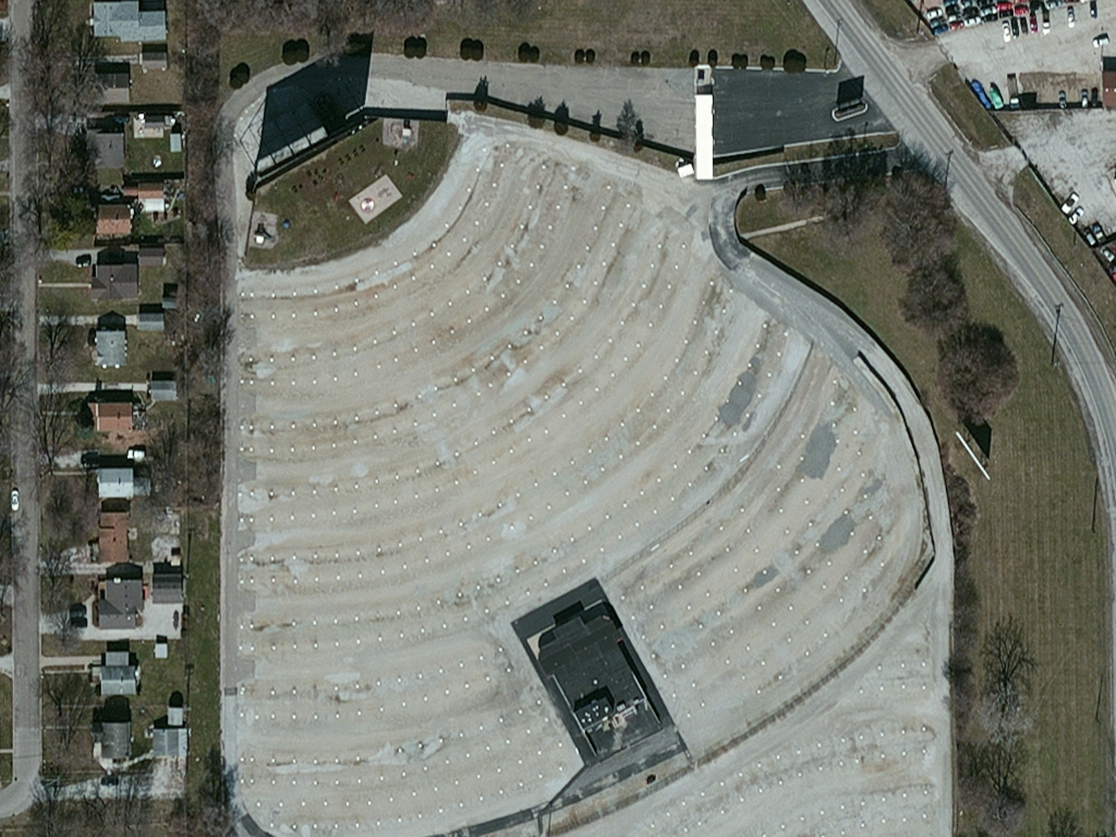
With a maximum resolution of 15-centimeter (cm), digital aerial imagery separates itself from satellite imagery by the clarity it can offer. We provide brand-new digital aerial imagery over the continental United States and then 15-cm to 30-cm data from an archive that covers much of the USA and Europe. This 15 to 30-cm imagery can be delivered in color, color infrared or as a 4-band multispectral product including the near-infrared (NIR) band.

New collections of digital aerial imagery are often delivered within 1 to 2 months of order confirmation, making this data the ideal choice for time-sensitive projects covering large areas.

Archived Digital Aerial Imagery
  • Spectral Bands: natural color & color infrared (i.e. green, red and near-infrared)
  • At Nadir Resolution: 15-cm to 30-cm natural color & 60-cm color infrared
  • Database Date Range: Spring 2010 – current (varies by location)
  • Horizontal Accuracy: 1.07 to 5.3-meter (m) CE90 (varies by location and resolution)
  • Coverage Geometry: seamless, orthorectified GeoTIFFs
  • Dynamic Range: 8-bits
Tasked (New Collection) Digital Aerial Imagery
  • Spectral Bands: natural color, color infrared (i.e. green, red and near-infrared) or 4-band multispectral (i.e. blue, green, red and near-infrared)
  • At Nadir Resolution: 15-cm or 30-cm
  • Typical Delivery Time: 1 to 2 months
  • Possible Coverage Area: continental United States (other geographies may be available with a custom quote)
  • Horizontal Accuracy: ~3-m CE90 (dependent on terrain, can be improved with ground control points)
  • Aerial Sensor: Canon T1i SLR with a Canon EF50/1.8 lens
  • Dynamic Range: 12-bits or 14-bits
  • Control Systems: on-board IMU/GPS

Below is the least expensive digital aerial data order possible. Note that academic and volume discounts are available.

  • Data Source: archive
  • Minimum Order Size: $350 (per area & date)
  • Product Type: 30-cm orthorectified + natural color
  • Price Per Sq Km: $2.78 (30-cm); $5.91 (15-cm) (more detailed pricing can be found here)

For an exact quote, please contact our Sales Team at sales@apollomapping.com.

Interested in learning more about the specifications of our archived aerial imagery?

Download Whitepaper