
SuperView Neo Satellite Imagery Samples


The Superview Neo Advantage
On April 29, 2022, SpaceWill launched twin satellites, Neo-1 01 and Neo-1 02, from the Taiyuan Satellite Launch Center in China, forming the SuperView Neo constellation. With a 30-centimeter (cm) panchromatic band and four 1.2-meter (m) multispectral bands, SuperView Neo-1 01/02 were SpaceWill’s launching point into 30-cm resolution satellites. Then on February 27, 2025, two more SuperView Neo-1 satellites launched into orbit, and these improved versions, Neo-1 03 and 04, were upgraded to feature an industry-first 25-cm panchromatic and four 1-m multispectral bands.
On April 15, 2024, the first SuperView Neo-3 satellite launched, Neo-3 01, extending the constellation with 50-cm panchromatic and 2-m 8-band multispectral imagery collected with an industry-leading 130-km wide footprint. Boasting four additional spectral bands on top of the ‘traditional’ blue, green, red and near infrared (NIR), 50-cm SuperView Neo-3 can uplevel your spectral analysis by adding in coastal blue, yellow, red edge and NIR2 data. In addition, 50-cm SuperView Neo-3 imagery is collected with a nadir below 10° which can be crucial in environments with tall buildings and/or trees as well as deep ravines. Another 8-band 50-cm SuperView Neo-3 satellite, Neo-3 02, joined the constellation on March 15, 2025.
Now with six satellites in orbit, the SuperView constellation collects an incredible 5.8 million square kilometers per day, making it your go-to for archived high-resolution imagery.
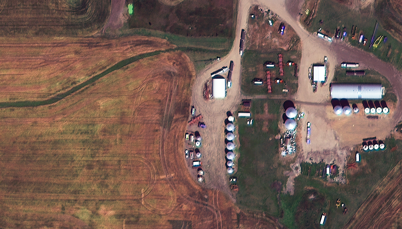
Below is the least expensive, color 30-cm SuperView Neo-1 imagery offered. Prices increase for new collections and data processing. Note that volume discounts are available. SuperView Neo-3 imagery is delivered at 50-cm resolution.
- Data Source: SuperView Neo-1 archive
- Minimum Order Size: 25 sq km (per area & date)
- Product Type: 30-cm georeferenced + natural color or 4-band
- Price Per Sq Km: $15.00 (more detailed pricing can be found here)
For an exact quote, please contact our Sales Team at sales@apollomapping.com.
