Buy 50-cm SkySat Satellite Imagery - Apollo Mapping | The Image Hunters

SkySat Satellite

SkySat satellite is a growing constellation of 50-cm resolution micro-satellites.

Browse Satellites

SkySat Satellite Imagery Samples

SkySat 50-cm Natural Color – Bijagual, Colombia; December 7, 2022
SkySat 50-cm Natural Color – Madrid, Spain; April 3, 2020
SkySat 80-cm Natural Color – New York City, NY, USA; September 4, 2017

Click on the expand button for a larger view of each image. You can also right-click and save any of the examples to your computer for a full resolution view.


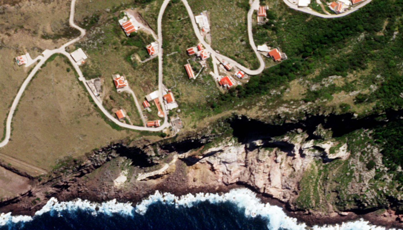
The SkySat Advantage

Ideal for Monitoring
Planet’s monitoring product leverages the SkySat constellation for repeat collects of your high priority sites.

Multiple Images Per Day
As more SkySats are launched, this constellation will collect up to 12 images per day over a given location.

50-cm Panchromatic Video
SkySat can collect 50-cm panchromatic video over your area of interest.

81-cm Multispectral Bands
Unlike most high-resolution satellites, SkySat offers true 81-cm resolution, 4-band multispectral imagery without pansharpening.

Overview & HistorySkySat SpecificationsPricing

SkySat is a growing constellation of 21 (as of August 2020), sub-meter resolution micro-satellites. Launched in 2014, the satellites currently collect 65-centimeter (cm) panchromatic and 81-cm (m) 4-band multispectral (i.e. blue, green, red and near-infrared [NIR]) imagery – which is delivered as 50-cm 4-band pansharpened imagery through super-resolution processing. Originally built and launched by Terra Bella, the first seven SkySat satellites were acquired by Planet in 2017. Since then, Planet has added a number of microsats to the constellation.

SkySat’s impressive flock of microsats is ideal for monitoring high-value sights offering up to 12 revisits per day over a given location with the additional capability to capture 120 seconds of 50-cm panchromatic video. Micro-satellites are small with shorter life expectancies then their larger counterparts like WorldView-3, so expect to see more SkySats launched into orbit as the original microsats reach the end of their lifespans.

Launch Details
  • Launch Date: multiple microsat launch dates, including (but not limited to) November 21, 2013 ~06:10 UTC, SkySat-1; July 8, 2014 15:58:28 UTC, SkySat-2; June 22, 2016 03:56 UTC, 1 SkySat Class C sats; September 16, 2016 01:43:35 UTC, 4 SkySat Class C sats; October 31, 2017 21:37 UTC, 6 SkySat Class C sats; December 3, 2018 18:34 UTC, 2 SkySat SkySat Class C and Class D1 sats; June 13, 2020 09:21 UTC, SkySats 16, 17, 18; August 18, 2020 14:31 UTC, SkySats 19, 20, 21
  • Vehicle: SpaceX Falcon 9
  • Site: Vandenberg Air Force Base, California, USA

SkySat Components
  • Dimensions: 80-cm tall x 60-cm across, 83 kg
  • Onboard Storage Capacity: 768 gigabytes
  • Ground Communication Systems:
    • Imagery & metadata downlink – 470 Mbps X-band
    • Commands – 16 kbps S-band

Orbit Characteristics
  • Altitude: 600 km
  • Inclination: 97.8°; SkySats 16 – 21 at 53° to add additional daily revisits
  • Direction: sun-synchronous near-circular orbit, north to south (across the lit side of Earth)
  • Equatorial Crossing Time: 10:30 local time; 13:30 local time for only October 31, 2017 launched sats (approximate; across lit side of Earth); SkySats 16 – 21 crossing times vary daily, with a shifting ~3 hour access window per day
  • Revisit Frequency: 3 to 12 times per day with the entire constellation (latitude dependent)

Imaging System
  • Spectral Bands:
    • Panchromatic
    • 4-band multispectral (blue, green, red and NIR)
  • Sensor Resolution:
    • Pre-2016 sats – 90-cm panchromatic & 1.0-m multispectral (at-nadir, 500 km altitude)
    • 2016 to October 2019 – 72-cm panchromatic & 1.0-m multispectral (at-nadir, 500 km altitude); transition to 50-cm panchromatic started about October 2019
    • July 2020 and on – 65-cm panchromatic & 81-cm multispectral (at-nadir, 500 km altitude); SkySats 1/2 remain at 72-cm panchromatic & 1.0-m multispectral; delivered as pansharpened 50-cm 4-band imagery through super-resolution processing
  • Spectral Band Wavelength Range: (in nm)
    • Panchromatic – 450 to 900
    • Blue – 450 to 515
    • Green – 515 to 595
    • Red – 605 to 695
    • NIR – 740 to 900
  • Dynamic Range: 11-bits
  • Video Imaging: 50-cm panchromatic only (72-cm for data collected before July 2020); up to 120-seconds (60-second maximum recommended)

Collection Capabilities
  • Footprint Width: each microsat has three cameras collecting overlapping scenes approximately 2,560 x 1,080 pixels
  • Daily Collection Capacity: approximately 245,000 sq km across the entire constellation (more as the constellation grows; July 2019 figure); approximately 400,000 sq km as reported in April 2020
  • Georeferenced Horizontal Accuracy: 90-m CE90 (global average; depends on terrain and nadir pointing; 500 km altitude)

Below is the least expensive, color SkySat data offered. Prices increase for data processing. Note that academic and volume discounts are available.

For an exact quote, please contact our Sales Team at sales@apollomapping.com.

Looking for SkySat spectral response values to be used in an atmospheric correction and/or radiance conversion?

Download Whitepaper