Medium Resolution Imagery Samples


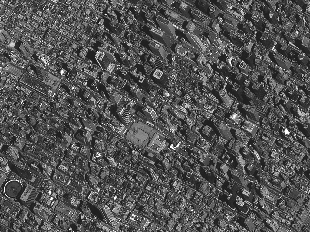
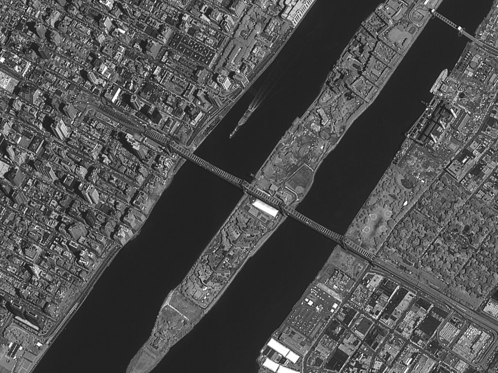
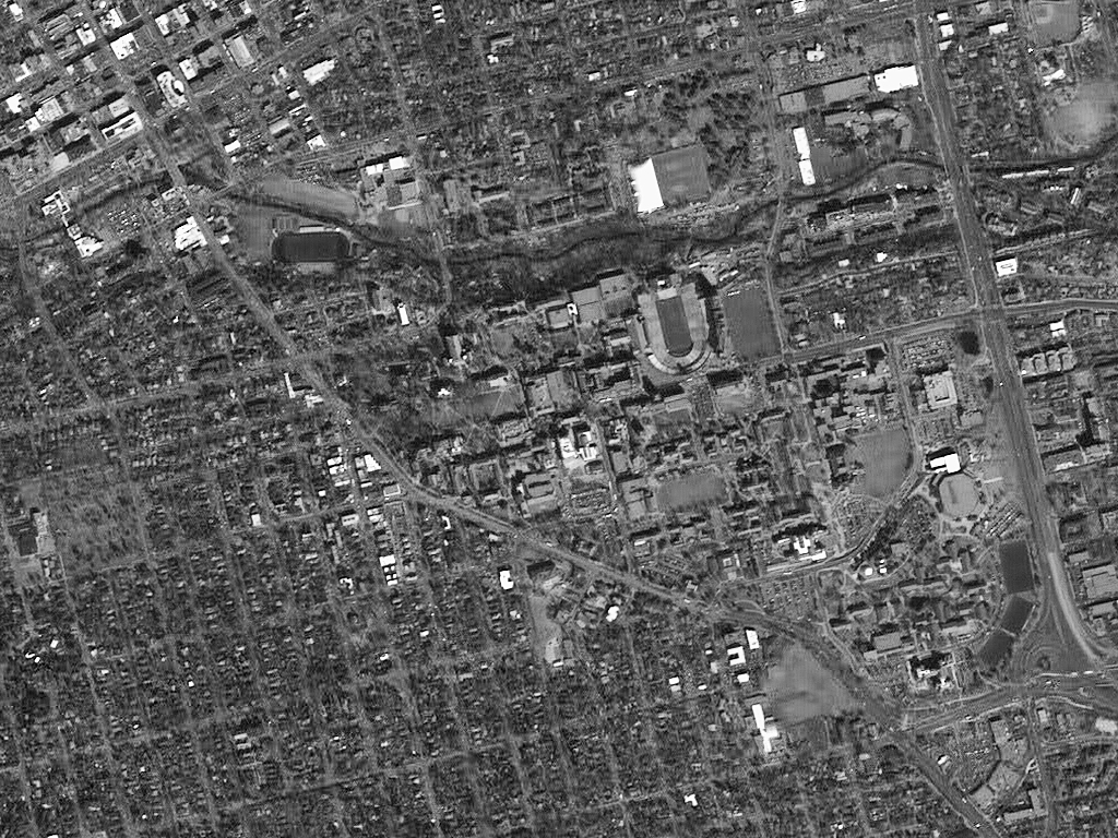


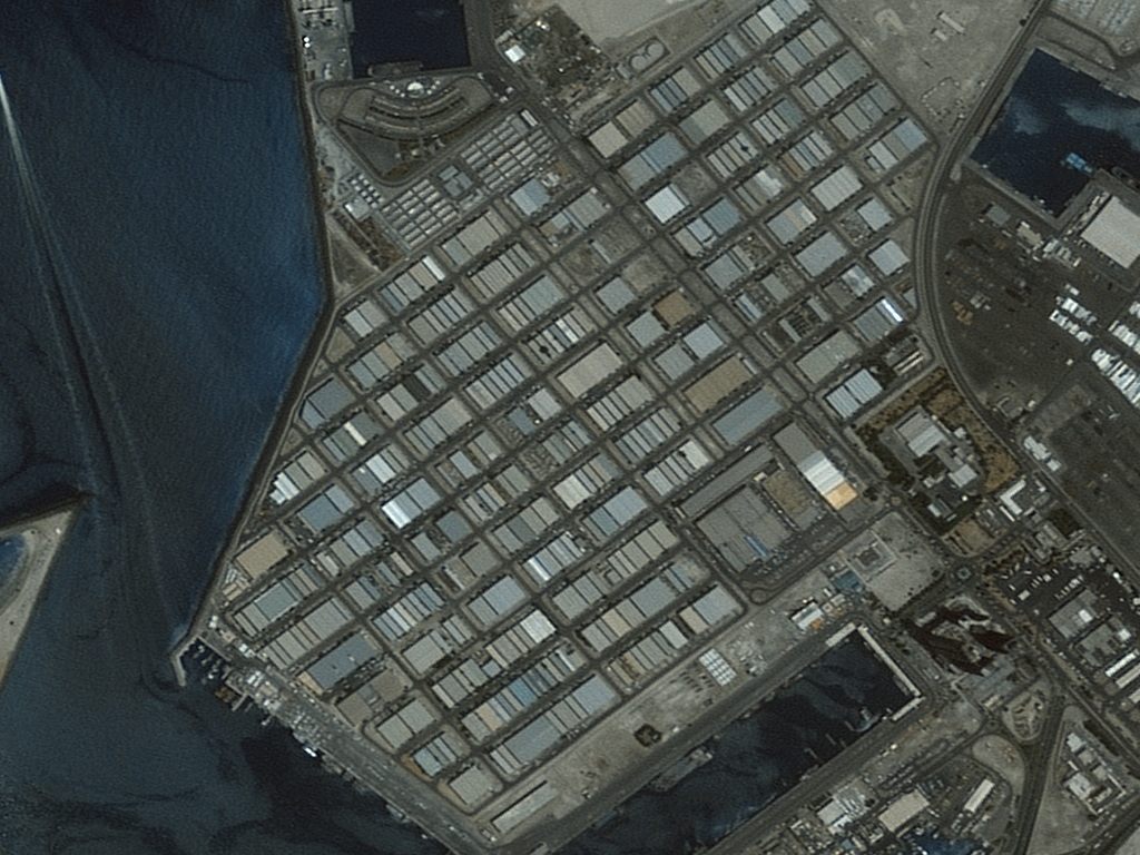


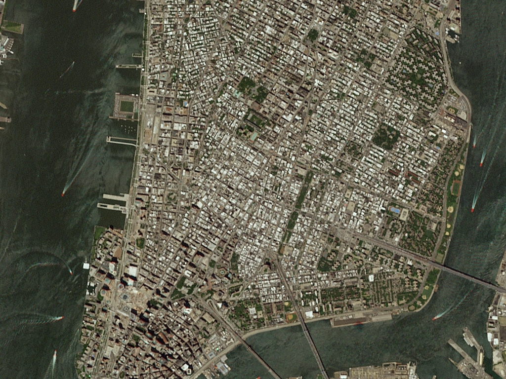


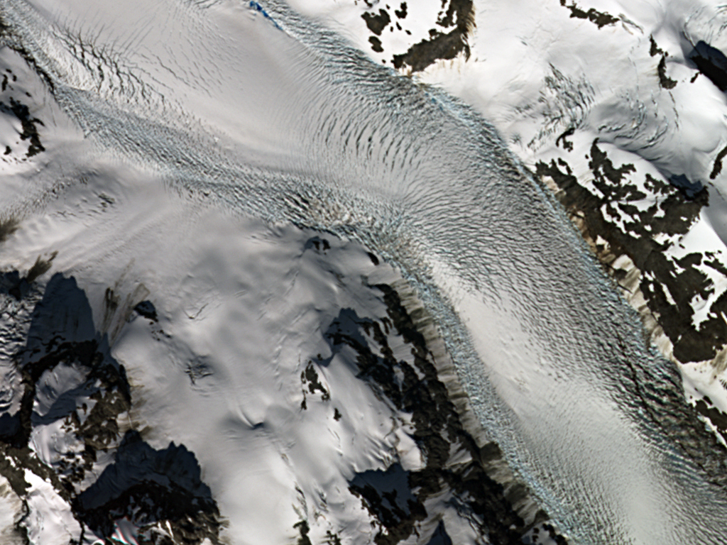

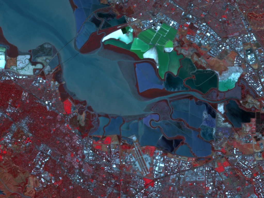
Click on the expand button for a larger view of each image. You can also right-click and save any of the examples to your computer for a full resolution view.
Our Medium Resolution Sensors
| Sensor Name | Sensor Type | Spectral Bands | Sensor Resolution | Potential Coverage Area |
|---|---|---|---|---|
| SPOT 1-7 | 7 satellite constellation | Pan, MS & short-wave IR | Up to 1.5-m | Global |
| FORMOSAT-5 | Satellite | Pan 4-band MS | 2-m 4-m | Within fixed track |
| FORMOSAT-2 | Satellite | Pan 4-band MS | 2-m 8-m | Within fixed track |
| GaoFen-1 | Satellite | Pan 4-band MS | 2-m 8-m | Global |
| EROS A | Satellite | Pan | 2-m | Global |
| ZiYuan-3 | 2 satellite constellation | Pan 4-band MS Stereo Pan | 2.1-m 5.8-m 2.5-m; 3.5-m | Global |
| ALOS PRISM | Satellite | Stereo Pan | 2.5-m | Global |
| PlanetScope | Large microsatellite constellation (microsats) | 3, 4 or 8-band MS | 3-m | Global |
| KazEOSat-2 | Satellite | 5-band MS | 6.5-m | Global |
| RapidEye | 5 satellite constellation | 5-band MS | 6.5-m | Global |
| OHS | 8 microsat constellation | 32-band hyperspectral | 10-m | Global |
| GEOSAT-1 | Satellite | 3-band MS | 22-m | Global |
What exactly does medium resolution imagery really mean? While the term is used frequently, it is rarely defined. Here at Apollo Mapping, we define medium resolution imagery to have 1-meter (m) to 30-m resolution. Many medium resolution satellites however feature a wide variety of spectral bands with varying resolutions that may or may not meet this threshold. More information on the technical specifications of the medium resolution satellites we work with can be found on the individual pages linked in the table below.
How long will it take to receive my imagery? We get this question all the time. The answer is that it depends on a few variables, but one of the main factors is whether we will have to find your imagery in an archive or if we will have to place a tasking order.
Tasking Order
![]() A tasking order is an on-demand service whereby clients define a custom polygon on the planet to be imaged by the next available medium resolution satellite. The time to collect this area of interest is controlled by local weather conditions and competition from surrounding tasking orders.
A tasking order is an on-demand service whereby clients define a custom polygon on the planet to be imaged by the next available medium resolution satellite. The time to collect this area of interest is controlled by local weather conditions and competition from surrounding tasking orders.
Archive Order
![]() An archive order relies on a historic database of medium resolution imagery with a specific time/date stamp and known cloud cover. Clients are able to browse available data with the assistance of Apollo Mapping to determine the best imagery for their intended applications.
An archive order relies on a historic database of medium resolution imagery with a specific time/date stamp and known cloud cover. Clients are able to browse available data with the assistance of Apollo Mapping to determine the best imagery for their intended applications.
When to use medium resolution imagery
The uses of medium resolution imagery are as vast as the human imagination. Here is a list of several situations when it makes the most sense to use medium resolution imagery:
-
 A cost effective means to obtain base layer imagery for large areas
 - In regions with historically high cloud cover and thus lack of coverage with high resolution imagery
- To monitor remote sites and detect large landscape changes
- For projects requiring the most up-to-date imagery over large areas
- When completing spectral analysis at regional scales
- For marco-scale spectral analysis that requires multiple temporal datasets
- Replacing Landsat 7 imagery that has missing scan lines
- To supplement free lower-resolution satellite imagery such as ASTER and MODIS
