GaoFen-1 Satellite Imagery Samples
Click on the expand button for a larger view of each image. You can also right-click and save any of the examples to your computer for a full resolution view.
The GaoFen-1 Advantage
Large Swath Width
GaoFen-1’s footprint is 60-kilometer wide which equals or out-competes all other medium-resolution satellites
Impressive Coverage
With imagery going back to 2013, GaoFen-1 offers a massive archive of 2-meter panchromatic and 8-meter 4-band multispectral data.
Overview & HistoryGaoFen-1 SpecificationsPricing
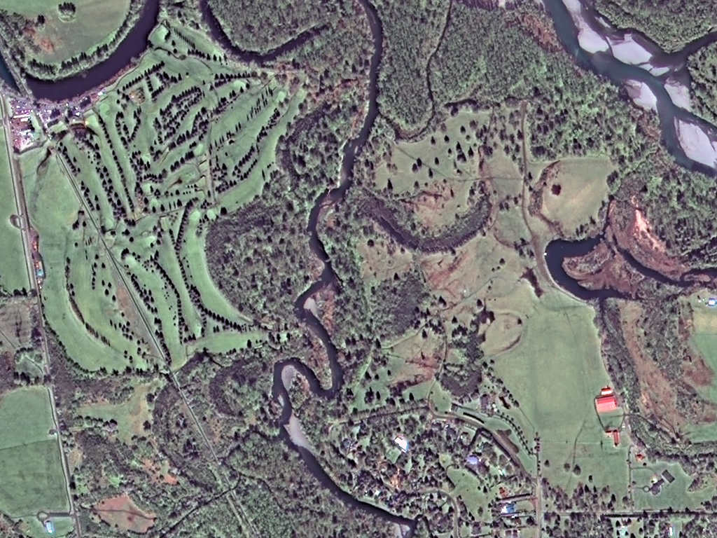
GaoFen-1 was launched on April 26, 2013 by the China National Space Administration (CNS), the first in a series of medium and high-resolution Chinese satellites. It was followed by GaoFen-2 with 80-centimeter (cm) resolution in 2014. GaoFen-1 offers 2-meter panchromatic and 8-meter 4-band (i.e. blue, green, red and near-infrared [NIR]) multispectral resolution with an impressive swath width of 60-kilometers (km).
GaoFen-1 is ideal for large areas of interest and monitoring projects with competitive pricing for 2-meter resolution satellite imagery, and a massive archive of historic data.
Satellite Specs
- Launch Date: April 26, 2013, 4:13 UTC
- Launch Mass: 1,080 kg
- Control Systems: 3-axis stabilized, zero momentum stabilization, Earth pointing
- Electrical Power Systems: solar power = 1278 W, output current from arrays= 40-42.6 A, Li-ion battery capacity= 80 Ah
- Main Sensor Complement: 2 x HR (High Resolution cameras)
- Sensor Resolution:
- At nadir – 2-m panchromatic & 8-m multispectral (MS)
- Spectral Band Wavelength Range: (in nm)
- Panchromatic – 450 to 900
- Blue – 450 to 520
- Green – 520 to 590
- Red – 630 to 690
- NIR – 770 to 890
Imaging Details
- Orbit Direction: sun-synchronous circular, north to south (across the lit side of Earth)
- Equatorial Crossing Time: 10:30 local time (approximate; across lit side of Earth)
- Revisit Frequency: within 4 days, global average
- Dynamic Range: 10-bits
- Footprint Width: 60 kilometer (km, at nadir)
- Jilin-1 Georeferenced Horizontal Accuracy: 50-m CE90 (global average; depends on terrain and nadir pointing)
Below is the least expensive, color GaoFen-1 data offered. Prices increase for data processing. Note that volume discounts are available.
For an exact quote, please contact our Sales Team at sales@apollomapping.com.
Interested in academic research utilizing GaoFen-1 to classify urban heat islands?
Download Whitepaper