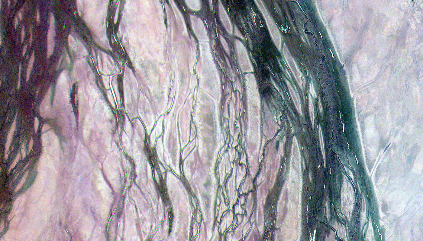
KazEOSat-2 Satellite Imagery Samples
Click on the expand button for a larger view of each image. You can also right-click and save any of the examples to your computer for a full resolution view.
The KazEOSat-2 Advantage
The Kazakhstan National Space Agency launched KazEOSat-2 on June 19, 2014 from the Yasny Cosmodrome in the Dombarovsky region of Russia. KazEOSat-2 is Kazakhstan’s first commercial medium-resolution satellite and was preceded by KazEOSat-1, it’s 1-meter (m) high-resolution counterpart. This medium-resolution satellite collects 6.5-m five-band (i.e. blue, green, red, red-edge and near-infrared) multispectral imagery.
With a 77-kilometer (km) wide footprint and strips up to 1,925-km long, KazEOSat-2 amasses an impressive 1,000,000 square kilometers of imagery daily. When it comes to large-area monitoring projects, price is often a barrier, but enter KazEOSat-2, an affordable option for high-quality regional mapping data.
Below is the least expensive KazEOSat-2 data offered. Prices increase for new collections and data processing.
- Data Source: archive
- Minimum Order Size: 500 sq km (per area & date)
- Product Type: RPC controlled + 5-band MS
- Price Per Sq Km: $0.60 (more detailed pricing can be found here)
For an exact quote, please contact our Sales Team at sales@apollomapping.com.


