Image Hunter Welcomes 40-cm Resolution SuperView-2 & 30-cm SuperView NEO-1 Imagery
August 2023 update! SpaceWill launched two SuperView Neo-1, 30-cm resolution satellites on April 29, 2022 and now they are both available in Image Hunter! The dual satellites can collect up to 1.5 million square kilometers of 30-cm imagery a day. Along with the increased resolution, they also collect four band multispectral imagery, including the red, green, blue and near-infrared (NIR) bands.
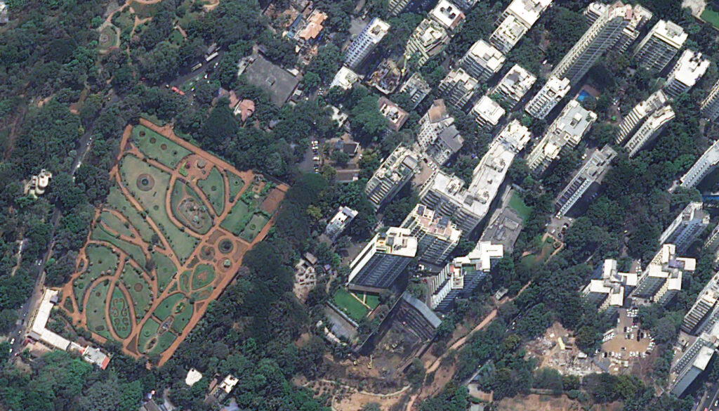
 A 30-cm SuperView NEO-1 image collected over World Island Dubai in the United Arab Emirates on August 12, 2022.
We are also excited to add another new high-resolution satellite offering to our imagery and digital elevation model (DEM) search engine, Image Hunter as 40-cm SuperView-2 joins its predecessor as one of our newest additions and thus expands our offering of high-resolution imagery. Image Hunter already features a large collection of sub-50-cm satellite data, and SuperView-2 joins the group with 40-cm panchromatic resolution and 1.6-meter, four-band multispectral resolution.
Launched on July 3, 2020 by SpaceWill, SuperView-2 builds on the capability of SuperView-1 with higher resolution and a larger, 15-kilometer footprint width. Its collection capacity of 200,000 square kilometers a day means we look forward seeing a nice collection of SuperView-2 in the Image Hunter archive.
Check out 30-cm SuperView NEO-1’s specifications and all it has to offer:
- Spectral Bands:
- Panchromatic
- 4-band multispectral (blue, green, red and near-infrared)
- Spectral Band Wavelength Range: (minimum to maximum edge; in nm)
- Panchromatic–450–700
- Blue–450–520
- Green–520–590
- Red–630–690
- NIR1–770–890
- Dynamic Range: 11-bits
For more detailed specifications, check out our SuperView NEO-1 page here and SuperView-2 page here. You can search for SuperView NEO-1 and SuperView-2 coverage all-day, every-day on Image Hunter. And if you have any pricing requests, additional questions or would like a new price list with SuperView-2 and SuperView NEO-1 included, send us an email at sales@apollomapping.com!