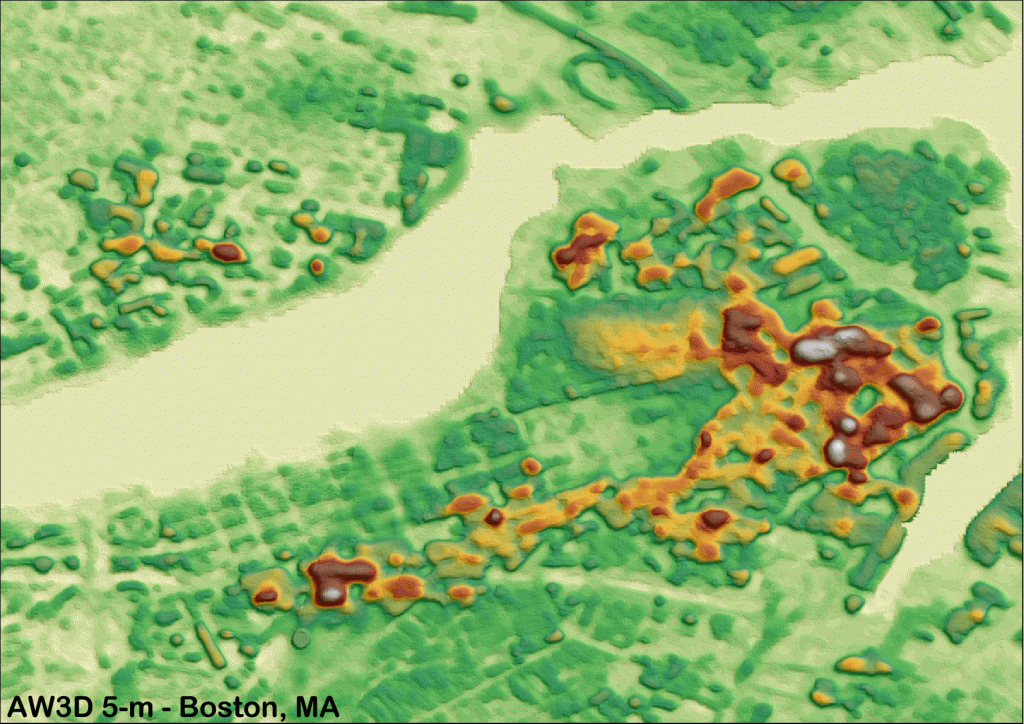
2.5-meter AW3D DEMs Now Available! Get Your Updated DEM Price List Too!
Click on the image above to see an animated views comparing 5-m and 2.5-m AW3D DEMs over Boston, Massachusetts and Washington, D.C. (C)NTT DATA,…

Featured article
In this monthly article, we travel the world to check out unique, fun and sometimes a bit weird 30-centimeter (cm) color imagery samples from the WorldView constellation. In September, we looked at…

Click on the image above to see an animated views comparing 5-m and 2.5-m AW3D DEMs over Boston, Massachusetts and Washington, D.C. (C)NTT DATA,…
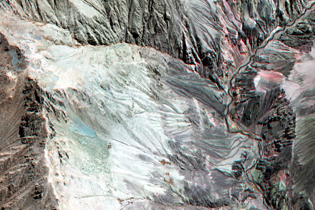
As promised in our breaking news article last month, here is an extended update on WorldView-3 (WV3) and its short-wave infrared (SWIR) bands. The…
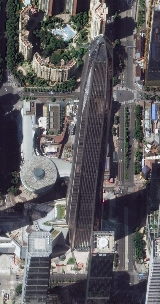
If you have not checked out satellite imagery of very tall buildings, you are in for a treat this month as we feature Ping…
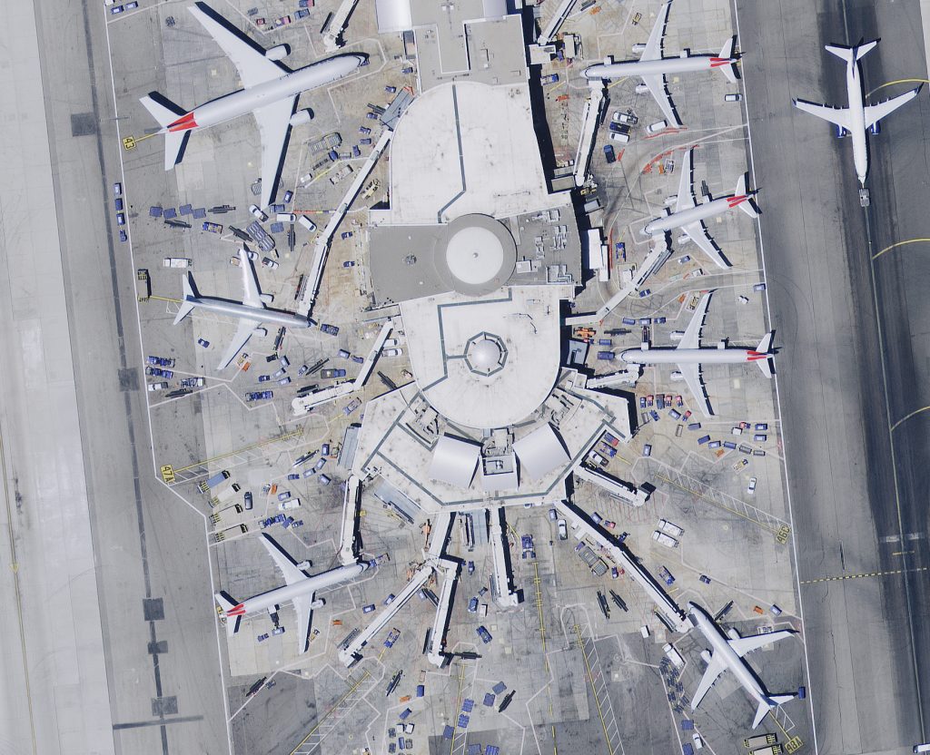
A 15-cm HxGN Content Program aerial image collected over Los Angeles International Airport (LAX). Check out that amazing detail! While satellite imagery is our…

Now that we have covered where to find GIS software and data for free, it is time to discuss data conversion tools that exist…
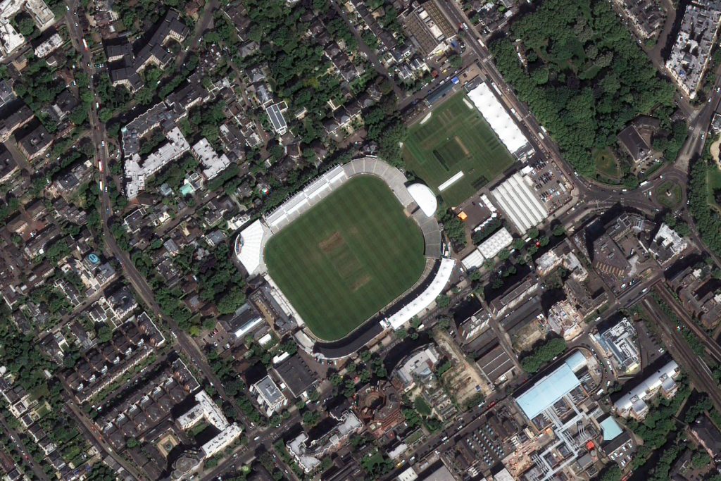
From a patriotic July edition of the Pléiades 1–SPOT 6/7 Stadium of the Month where we toured a football field in our nation’s capital,…
Find the imagery you need, your way.
From area of interest to delivered assets — typically within 24 hours.

Self-serve
Define your area of interest, compare results, and request pricing
— all in minutes.
Best for experienced users who know what they need.

Done for you
Share your area, timeframe, and goals
— we’ll handle the rest.
Ideal if you’re unsure which imagery is right for your project.