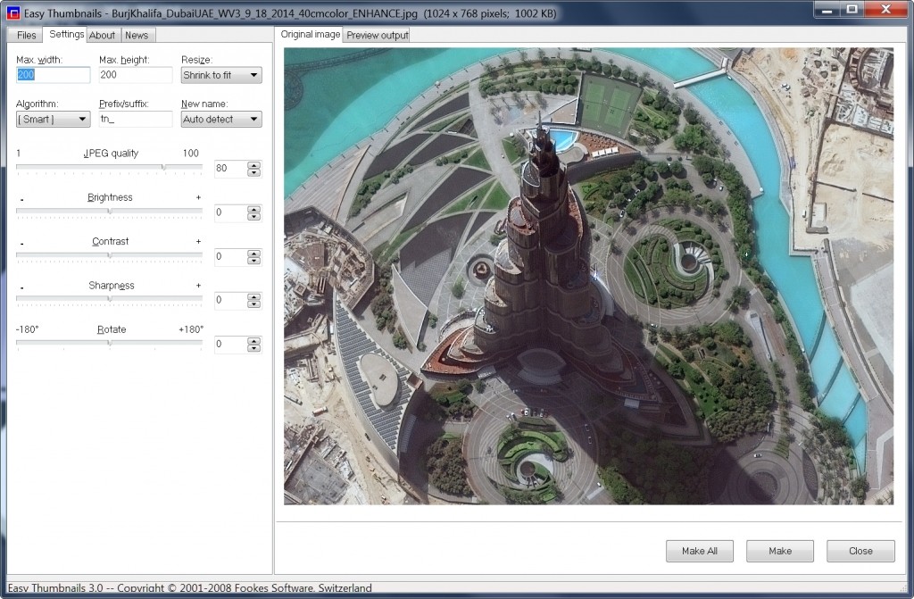
Free For All – Easy Thumbnails
This month, we feature a handy tool that, well, might be handy for our non-GIS readers as well! This great freeware application built by…

Featured article
In this monthly article, we travel the world to check out unique, fun and sometimes a bit weird 30-centimeter (cm) color imagery samples from the WorldView constellation. In September, we looked at…

This month, we feature a handy tool that, well, might be handy for our non-GIS readers as well! This great freeware application built by…

By now you have probably heard the news that Planet Labs be acquire BlackBridge, the operator of the 5-satellite, 5-meter, 5-band constellation referred to…
This is probably the last time we will run this article for a bit–so hopefully you see it this month if you missed it…

In this monthly piece, we give our readers a sense of the high-resolution imagery coverage collected over a geography during a specified window. To…

DigitalGlobe’s Advanced Elevation Series (AES) is a suite of elevation products that are reasonably priced with global coverage. By utilizing existing archive coverage and…

Did you see in last month’s newsletter that we can now sell aerial imagery with up to 15-centimeter (cm) resolution? If not, check out…
Find the imagery you need, your way.
From area of interest to delivered assets — typically within 24 hours.

Self-serve
Define your area of interest, compare results, and request pricing
— all in minutes.
Best for experienced users who know what they need.

Done for you
Share your area, timeframe, and goals
— we’ll handle the rest.
Ideal if you’re unsure which imagery is right for your project.