
30-cm Color WorldView-3/4 Image of the Month – Beirut, Lebanon
Every time we look at WorldView-3 and WorldView-4 (WV3/4) imagery, we are blown away. And we hope you are equally impressed with the data!…

Featured article
In this monthly article, we travel the world to check out unique, fun and sometimes a bit weird 30-centimeter (cm) color imagery samples from the WorldView constellation. In September, we looked at…

Every time we look at WorldView-3 and WorldView-4 (WV3/4) imagery, we are blown away. And we hope you are equally impressed with the data!…

So, I joined the Bumble app a few weeks ago, you know, the one where the lady has to make the “first move.” As…

Last month we found ourselves in the heartland of America with a look at a crucial Big 12 college football matchup, and for the…
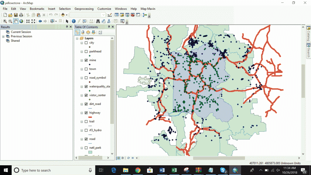
Launched in late 2016 (and relaunched in mid-2018), Map Mavin is our pay-as-you go GIS cloud that lets users make unlimited public and password-protected…
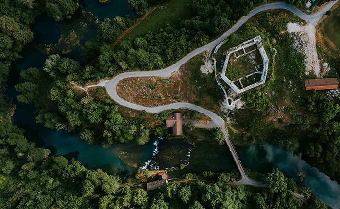
We are excited to announce the release of our brand new ArcGIS plugin for Map Mavin. Now you can export your data layers directly…
GIS is an acronym that is relatively unknown to the public at large, but it’s gaining traction and wider use every year. As geographic…
Find the imagery you need, your way.
From area of interest to delivered assets — typically within 24 hours.

Self-serve
Define your area of interest, compare results, and request pricing
— all in minutes.
Best for experienced users who know what they need.

Done for you
Share your area, timeframe, and goals
— we’ll handle the rest.
Ideal if you’re unsure which imagery is right for your project.