15-cm and 30-cm High-Resolution Aerial Imagery Tasking Services
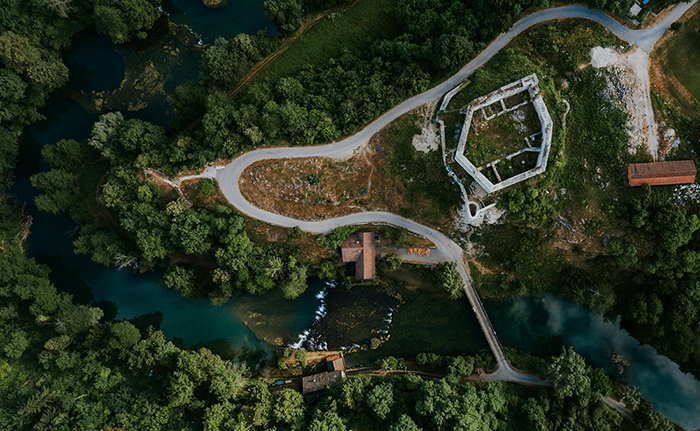
For some projects, satellites cannot offer the resolution or cloud-free conditions demanded by your project. In these instances, the solution is our 15-centimeter (cm)…

Featured article
In this monthly article, we travel the world to check out unique, fun and sometimes a bit weird 30-centimeter (cm) color imagery samples from the WorldView constellation. In September, we looked at…

For some projects, satellites cannot offer the resolution or cloud-free conditions demanded by your project. In these instances, the solution is our 15-centimeter (cm)…
Well, this article continues to be one of the most popular month after month, so we decided to keep it live for a good…
Do you have an area of interest where you need regularly updated imagery but you do not have time to check daily for this…
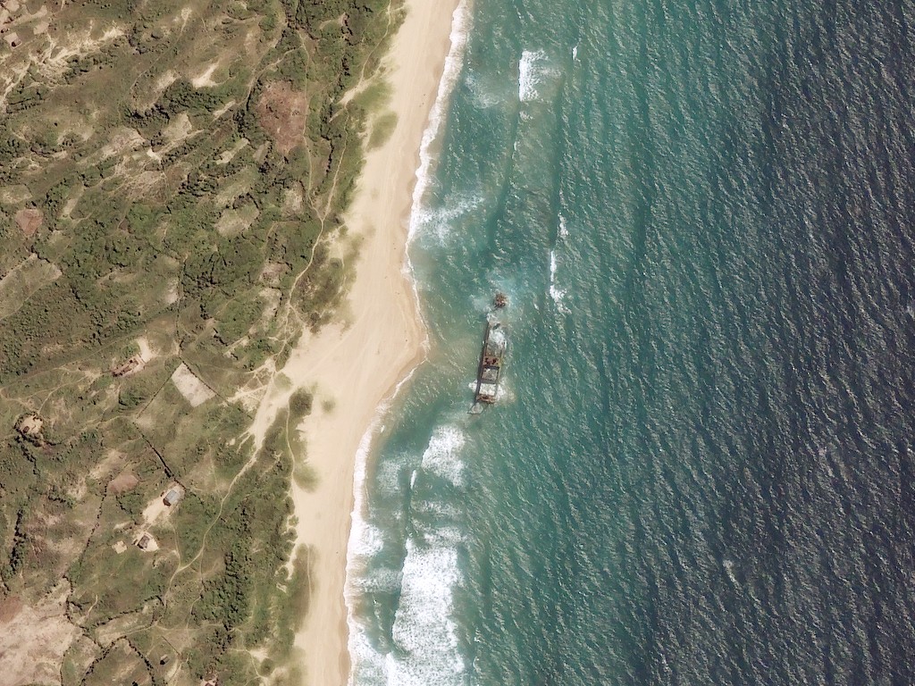
We love maps. We love imagery. We love work breaks. We hope you like them as well! I know you need a work break…

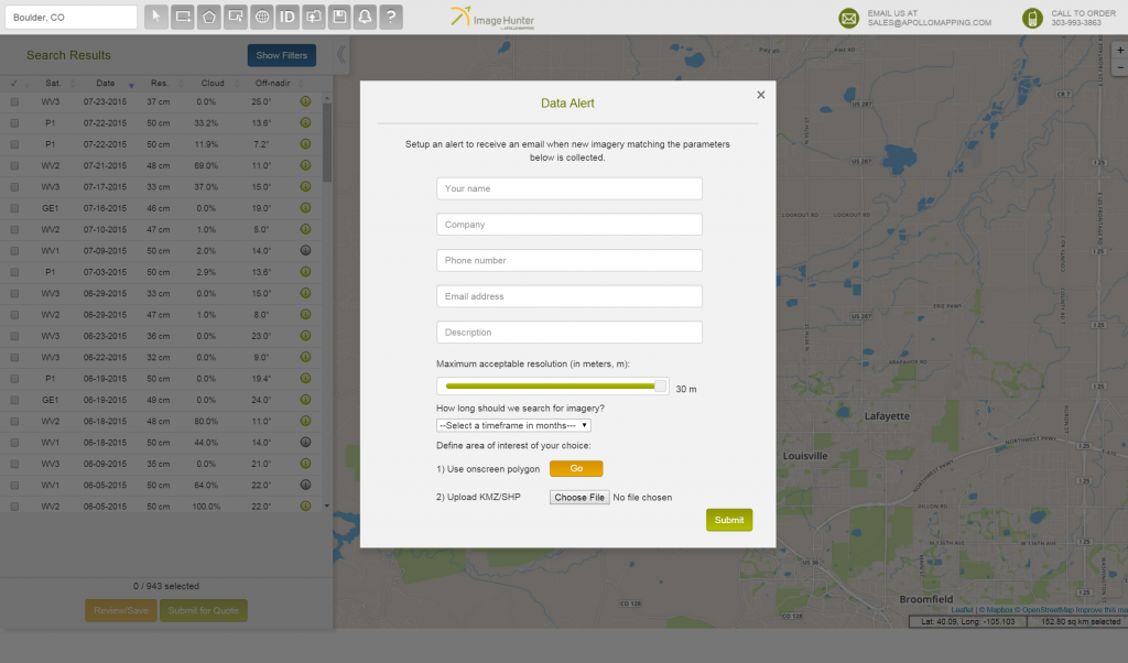
What is Data Alert? Apollo Mapping offers Data Alert as a free service to track new imagery collections. Powered by Image Hunter, Data Alert…
Find the imagery you need, your way.
From area of interest to delivered assets — typically within 24 hours.

Self-serve
Define your area of interest, compare results, and request pricing
— all in minutes.
Best for experienced users who know what they need.

Done for you
Share your area, timeframe, and goals
— we’ll handle the rest.
Ideal if you’re unsure which imagery is right for your project.