
Free For All – One Month Free Access to Map Mavin
Map Mavin is our GIS cloud, have you checked it out yet? If not, you can find out more information about it here. If…

Featured article
In this monthly article, we travel the world to check out unique, fun and sometimes a bit weird 30-centimeter (cm) color imagery samples from the WorldView constellation. In September, we looked at…

Map Mavin is our GIS cloud, have you checked it out yet? If not, you can find out more information about it here. If…
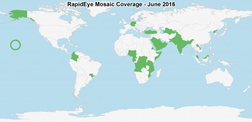
For those of you in need of ready-to-use, wide-area coverage mosaics, 5-meter natural color RapidEye Mosaics are a perfect fit. RapidEye Mosaics are virtually…

(Images Courtesy: DigitalGlobe. Processed by Apollo Mapping for improved color accuracy and clarity.) We love maps. We love imagery. We love work breaks. We…

In May, we made two important announcements about DigitalGlobe imagery and we just want to be sure you saw both of them. A 70-cm…
It had been seven days since we’d had any contact. For the best, I was sure. But on that seventh day I had been…
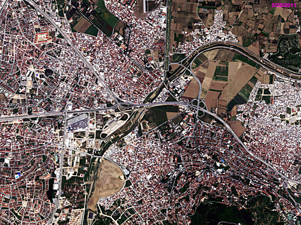
In this monthly feature, we span the globe to examine Our Changing Landscape with time series of medium resolution RapidEye satellite imagery. The RapidEye…
Find the imagery you need, your way.
From area of interest to delivered assets — typically within 24 hours.

Self-serve
Define your area of interest, compare results, and request pricing
— all in minutes.
Best for experienced users who know what they need.

Done for you
Share your area, timeframe, and goals
— we’ll handle the rest.
Ideal if you’re unsure which imagery is right for your project.