
The DigitalGlobe Maps API – An Offline and Online Imagery Solution
Do you have an online application or website that needs better basemap coverage than the Google Maps API, Bing Maps API or Esri ArcGIS…

Featured article
In this monthly article, we travel the world to check out unique, fun and sometimes a bit weird 30-centimeter (cm) color imagery samples from the WorldView constellation. In September, we looked at…

Do you have an online application or website that needs better basemap coverage than the Google Maps API, Bing Maps API or Esri ArcGIS…
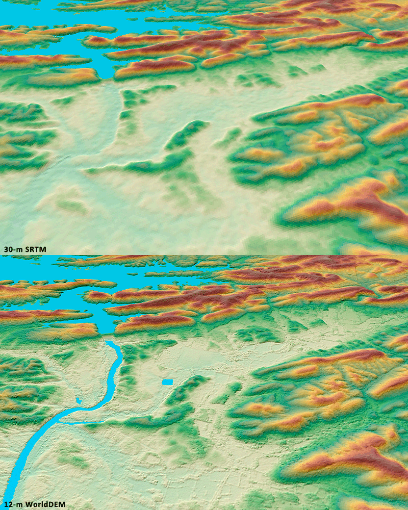
For three years, Airbus’ twin high-resolution radar satellites, TerraSar-X and TanDEM-X, imaged the entire land surface of our planet multiple times to create the…


It’s now mid-February as I draft this article and since our last update on Map Mavin, our pay-as-you-go GIS cloud, the focus has been…

When you were a kid did your parents use to measure your growth at the same spot on the wall? Every year there would…

In anticipation of the launch of Map Mavin, Apollo Mapping’s pay-as-you-go GIS cloud service, we are giving our valued readers a chance to shape…
Find the imagery you need, your way.
From area of interest to delivered assets — typically within 24 hours.
Self-serve
Define your area of interest, compare results, and request pricing
— all in minutes.
Best for experienced users who know what they need.
Done for you
Share your area, timeframe, and goals
— we’ll handle the rest.
Ideal if you’re unsure which imagery is right for your project.