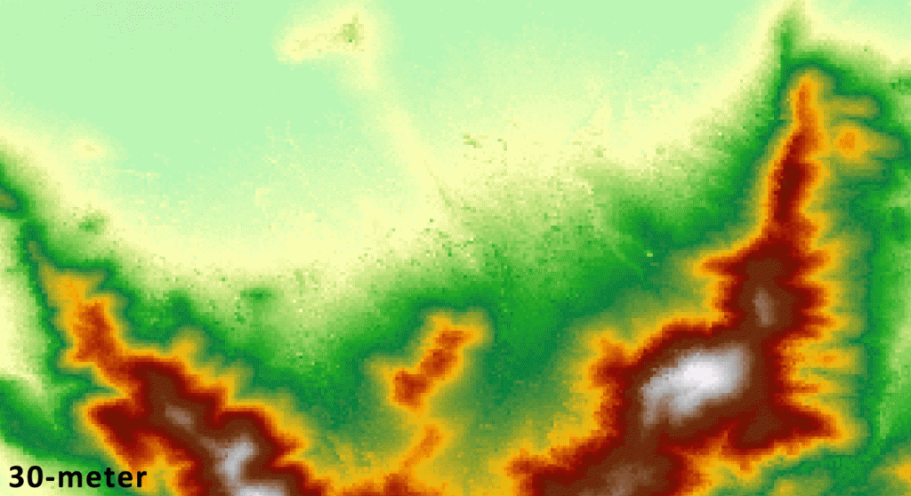
12-meter WorldDEM Samples are Ready for Download
For the past two and a half years, Airbus Defense and Space’s twin high-resolution radar satellites, TerraSar-X and TanDEM-X, have imaged the entire land…

Featured article
In this monthly article, we travel the world to check out unique, fun and sometimes a bit weird 30-centimeter (cm) color imagery samples from the WorldView constellation. In September, we looked at…

For the past two and a half years, Airbus Defense and Space’s twin high-resolution radar satellites, TerraSar-X and TanDEM-X, have imaged the entire land…

Do you do research in China and are looking for a collection of free historic GIS data for the country? If so, the China…
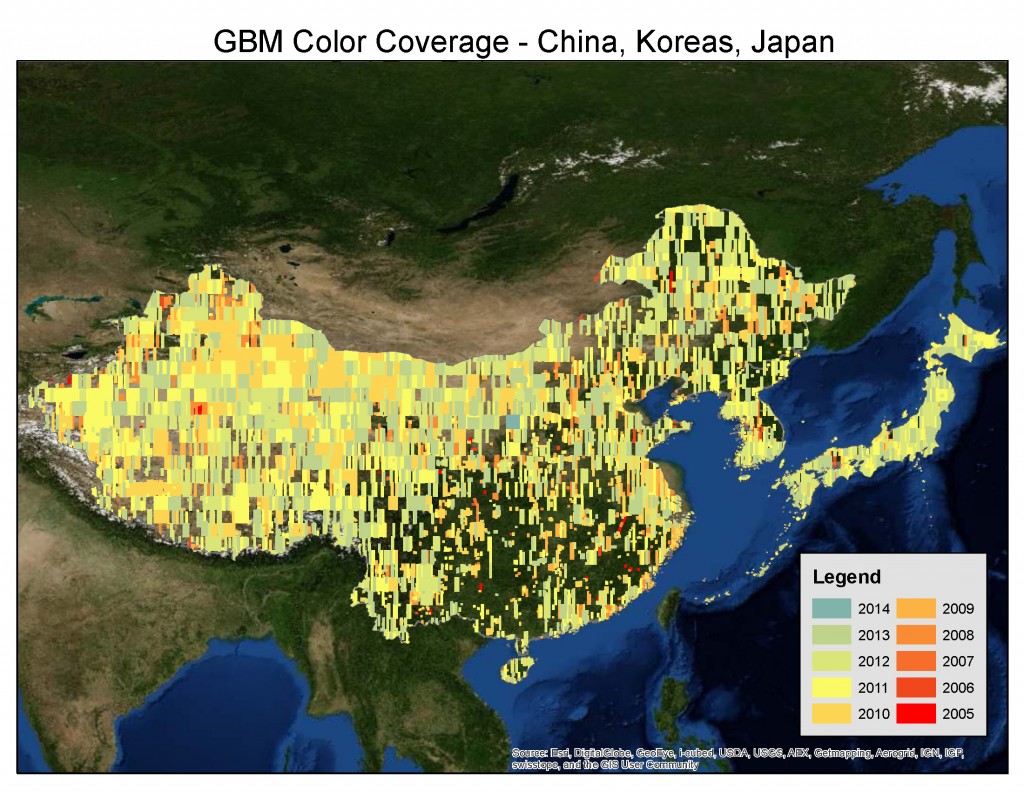
Do you have the need for regularly updated images of locations around the world? Perhaps you need imagery to integrate with an OEM solution…

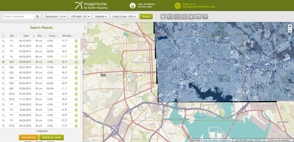
In July 2013, we unveiled the new and improved Image Hunter, have you checked it out yet?!?! If not, you should! Listening to the…

In this monthly feature, we span the globe to examine Our Changing Landscape with time series of medium resolution RapidEye satellite imagery. The RapidEye…
Find the imagery you need, your way.
From area of interest to delivered assets — typically within 24 hours.

Self-serve
Define your area of interest, compare results, and request pricing
— all in minutes.
Best for experienced users who know what they need.

Done for you
Share your area, timeframe, and goals
— we’ll handle the rest.
Ideal if you’re unsure which imagery is right for your project.