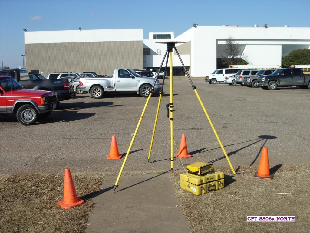
G-FAQ – What is Ground Control? Part II
In last month’s edition of the Geospatial Frequently Asked Question (G-FAQ), we started our discussion on ground control points (GCPs) and their relationship to…

Featured article
In this monthly article, we travel the world to check out unique, fun and sometimes a bit weird 30-centimeter (cm) color imagery samples from the WorldView constellation. In September, we looked at…

In last month’s edition of the Geospatial Frequently Asked Question (G-FAQ), we started our discussion on ground control points (GCPs) and their relationship to…

With the start of commercial WorldView-3 imagery sales in October, we were able to get our hands on some full resolution 40-cm color over…
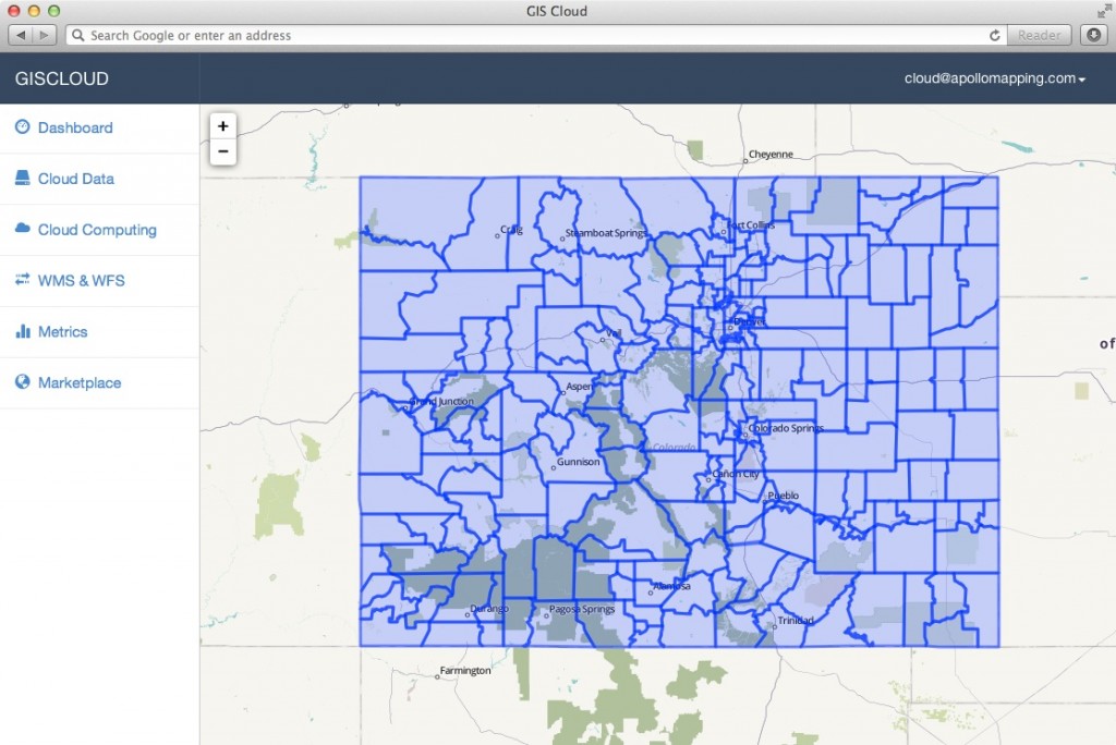
In the coming months, Apollo Mapping will be unveiling the industry’s most affordable, scalable and secure spatial cloud, the GISrack. While we are busy…
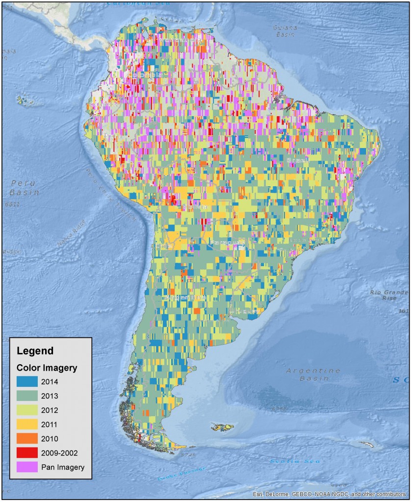
Do you have the need for regularly updated images of locations around the world? Perhaps you need imagery to integrate with an OEM solution…

DigitalGlobe’s Advanced Elevation Series (AES)is a suite of elevation products that are reasonably priced with global coverage. By utilizing existing archive coverage and their…

From the nation of our friendly neighbors to the north, Canada, our next stop on the Pléiades 1 Golf Course of the Month takes…
Find the imagery you need, your way.
From area of interest to delivered assets — typically within 24 hours.

Self-serve
Define your area of interest, compare results, and request pricing
— all in minutes.
Best for experienced users who know what they need.

Done for you
Share your area, timeframe, and goals
— we’ll handle the rest.
Ideal if you’re unsure which imagery is right for your project.