
Global Advanced Elevation Series (AES)
DigitalGlobe’s Advanced Elevation Series (AES) is a suite of elevation products that are reasonably priced with global coverage. By utilizing existing archive coverage and…

Featured article
In this monthly article, we travel the world to check out unique, fun and sometimes a bit weird 30-centimeter (cm) color imagery samples from the WorldView constellation. In September, we looked at…

DigitalGlobe’s Advanced Elevation Series (AES) is a suite of elevation products that are reasonably priced with global coverage. By utilizing existing archive coverage and…
You may (or may not) be asking yourself how our new application, Map Mavin, differs from ArcGIS. At the heart of it, we function…
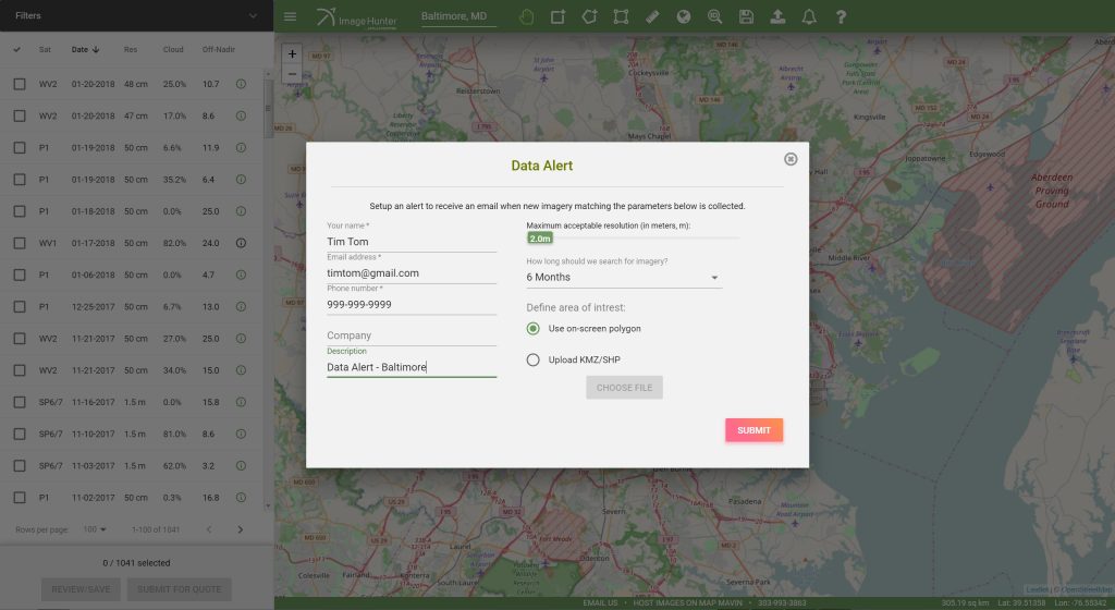
Do you have an area of interest that requires regularly updated imagery but you do not have time to check daily for this data?…
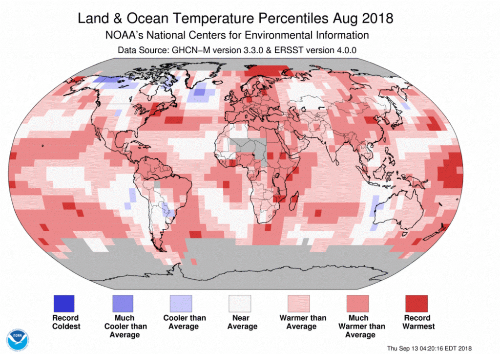
It’s tech time, so here is your list to get your thinking about all of the new, cool innovations that could hit the markets…

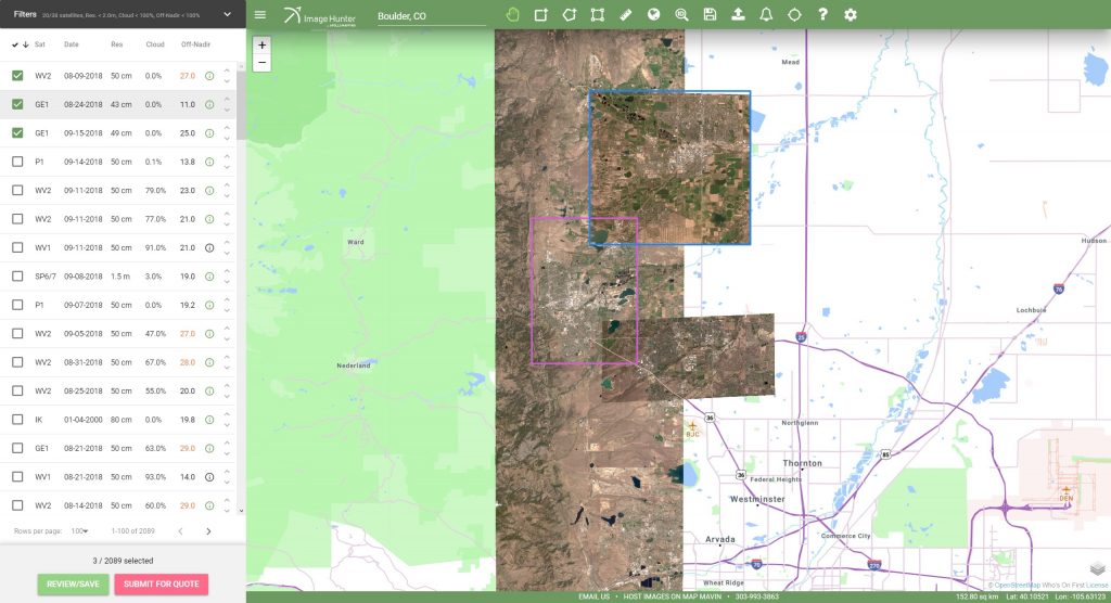
Have you checked out Image Hunter recently?!?! If not, you should! Listening to the feedback we received on improving imagery search engines over the…
Find the imagery you need, your way.
From area of interest to delivered assets — typically within 24 hours.

Self-serve
Define your area of interest, compare results, and request pricing
— all in minutes.
Best for experienced users who know what they need.

Done for you
Share your area, timeframe, and goals
— we’ll handle the rest.
Ideal if you’re unsure which imagery is right for your project.