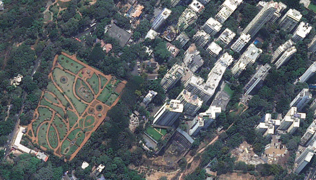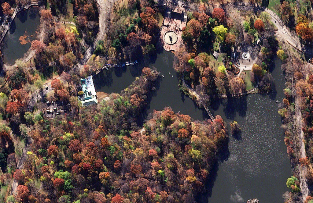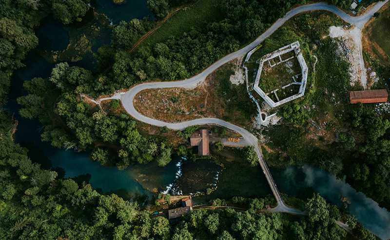
And Now, 30-cm 8-band WorldView Legion 3 Is Also Live In Image Hunter!
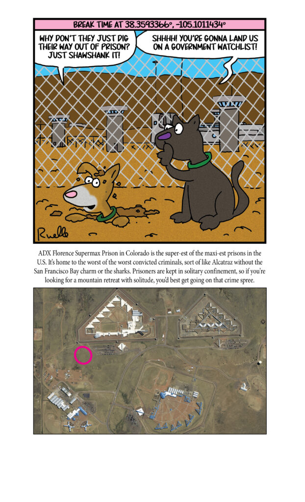
If you are a regular reader of our newsletter, you might remember that we added in 30-centimeter (cm), 8-band WorldView Legion 4 last month. Well, we are pleased to announce that this month, 30-cm 8-band WorldView Legion 3 has been added to Image Hunter!! That means there are four active 30-cm WorldView Legion satellites in orbit, collecting over 2 million square kilometers of imagery per day, nice. Legion 3 joins its twin, Legion 4, in a mid-latitude orbit where it can image the key populated regions of the world multiple times per day.
 A 30-cm color WorldView Legion sample collected over the Thomas Jefferson Memorial in Washington D.C., USA on October 19, 2024. (Image courtesy Maxar)
Legion 3 is the fourth active satellite in the WorldView Legion constellation. This high-resolution satellite constellation sets itself apart with these unique specifications:
- 6 satellite constellation with 4 MIO satellites (two Legion satellites are currently in the testing phase now).
- 30-cm panchromatic band plus 1.2-meter (m) 8-band multispectral including coastal, blue, green, yellow, red, red edge 1, red edge 2, and near-infrared (NIR).
- Each 30-cm satellite in the constellation images over 500,000 sq km per day.
- When all 6 WorldView Legion satellites are live, the constellation will average 3 accesses per day to locations between 40° North and South latitudes.
- With 4 MIO satellites, WorldView Legion will image throughout the day, not just during the morning as most satellite systems do.
This valuable 8-band 30-cm dataset is adding more than 2 million square kilometers per day to the high-resolution archives of Image Hunter–so get your search started now! And if you have any questions about using the WorldView Legion constellation in your next mapping project, send us an email now to sales@apollomapping.com.