
Monthly Update on SPOTMaps – New 1.5-Meter Mosaics Have Been Released!
In this monthly article, we provide details on updates to Airbus Defense and Space GEO’s SPOTMaps product. SPOTMaps is an orthorectified 2.5-meter (m) and…

Featured article
In this monthly article, we travel the world to check out unique, fun and sometimes a bit weird 30-centimeter (cm) color imagery samples from the WorldView constellation. In September, we looked at…

In this monthly article, we provide details on updates to Airbus Defense and Space GEO’s SPOTMaps product. SPOTMaps is an orthorectified 2.5-meter (m) and…

Global Forest Watch (GFW) is an online forest monitoring platform designed to equip people everywhere with the data they need to better manage and…

In last month’s edition of Map Mavin Methods, we covered Users, Admins and the sign up process. Map Mavin is Apollo Mapping’s soon-to-launch web…
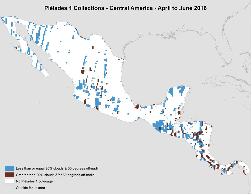
In this monthly piece, we give our readers a sense of the high-resolution imagery coverage collected over a geography during a specified window. To…

I had been out of Portland about seven weeks, but we had maintained a constant dialog. Less than ten days after I departed we…

A comparison of 30-m SRTM and 12-m WorldDEM elevation data over Arkansas, USA. For three years, Airbus’ twin high-resolution radar satellites, TerraSar-X and TanDEM-X,…
Find the imagery you need, your way.
From area of interest to delivered assets — typically within 24 hours.

Self-serve
Define your area of interest, compare results, and request pricing
— all in minutes.
Best for experienced users who know what they need.

Done for you
Share your area, timeframe, and goals
— we’ll handle the rest.
Ideal if you’re unsure which imagery is right for your project.