
New 70-cm Pricing For DigitalGlobe Imagery Products
Starting immediately, we are happy to announce that DigitalGlobe satellite imagery from WorldView-1/2/3, GeoEye-1 and QuickBird can now be ordered at 70-centimeter (cm) resolution…

Featured article
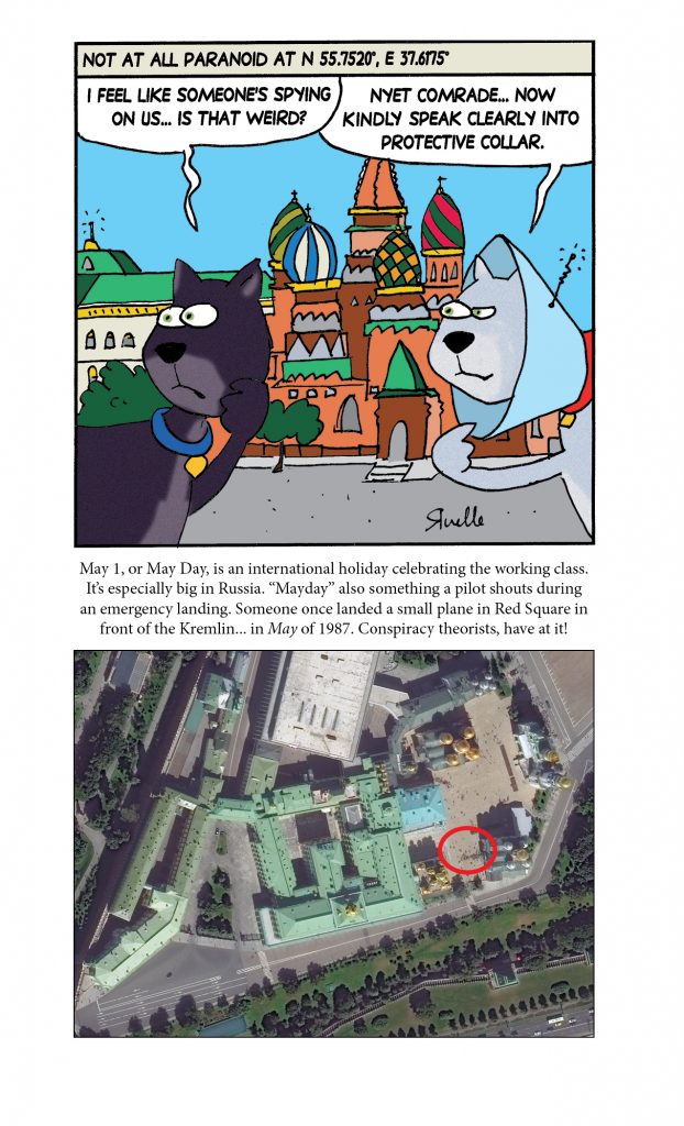
In this monthly article, we travel the world to check out unique, fun and sometimes a bit weird 30-centimeter (cm) color imagery samples from the WorldView constellation. In September, we looked at…

Starting immediately, we are happy to announce that DigitalGlobe satellite imagery from WorldView-1/2/3, GeoEye-1 and QuickBird can now be ordered at 70-centimeter (cm) resolution…

For three years, Airbus’ twin high-resolution radar satellites, TerraSar-X and TanDEM-X, imaged the entire land surface of our planet multiple times to create the…
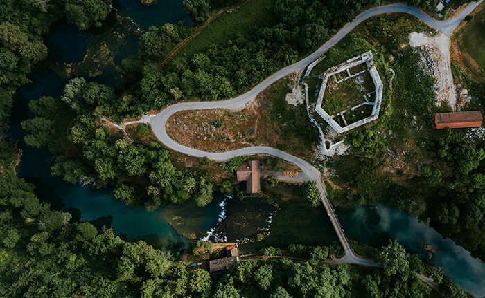
After two months in a row with a focus on web maps, we pivot our attention a bit for this Geospatial Tip of the…

Every time we look at WorldView-3 (WV3) imagery, we are blown away. And we hope you are equally impressed with the data! From the…

In this monthly piece, we give our readers a sense of the high-resolution imagery coverage collected over a geography during a specified window. To…
Find the imagery you need, your way.
From area of interest to delivered assets — typically within 24 hours.

Self-serve
Define your area of interest, compare results, and request pricing
— all in minutes.
Best for experienced users who know what they need.

Done for you
Share your area, timeframe, and goals
— we’ll handle the rest.
Ideal if you’re unsure which imagery is right for your project.