
Remote Senselessness – How to Take a Hint
Sometimes we don’t see the forest for the trees, so goes the idiom. Sometimes we get caught up in what we want to happen;…

Featured article
In this monthly article, we travel the world to check out unique, fun and sometimes a bit weird 30-centimeter (cm) color imagery samples from the WorldView constellation. In September, we looked at…

Sometimes we don’t see the forest for the trees, so goes the idiom. Sometimes we get caught up in what we want to happen;…
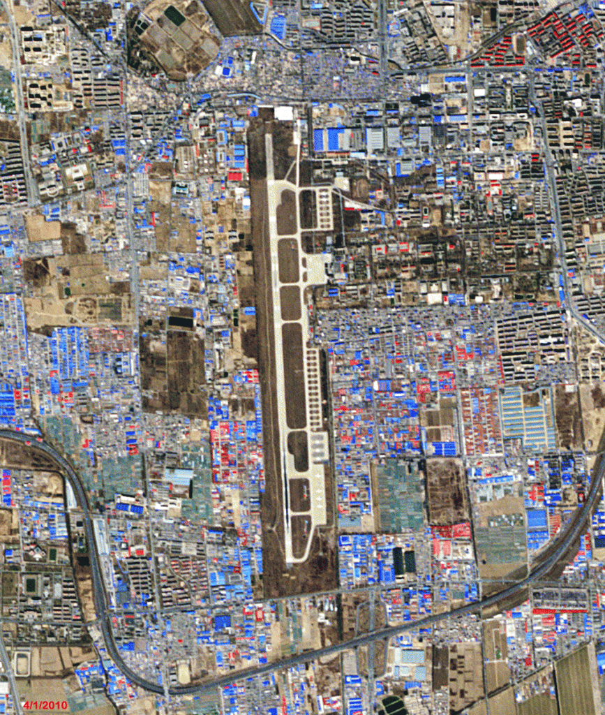
In this monthly feature, we span the globe to examine Our Changing Landscape with time series of medium resolution RapidEye satellite imagery. The RapidEye…
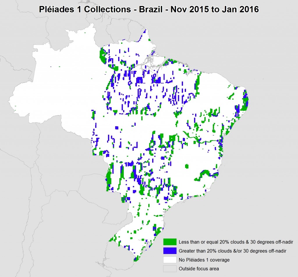
This map shows the areas imaged by the Pléiades 1 constellation from November 2015 to January 2016 over Brazil. Please note that in many…
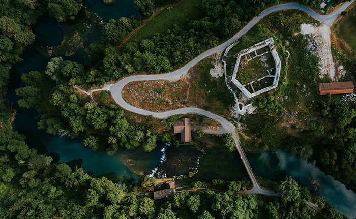
Time-lapse videos of nature are a favorite of mine, from the stars traveling in the night, to serpentine auroras, to clouds floating across the…
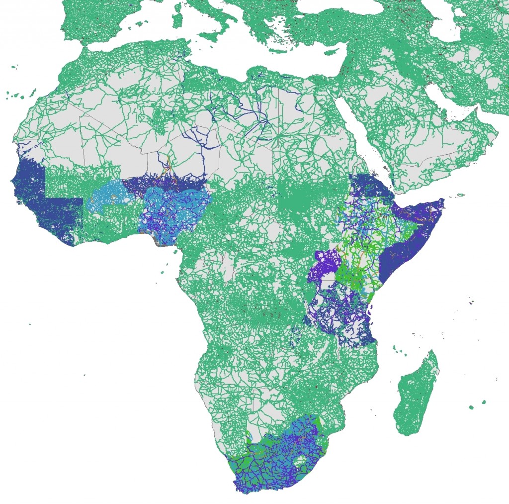
If you use GIS, then you are likely a fan of free shapefile data just like me. So for this month’s Free For All,…

Every time we look at WorldView-3 (WV3) imagery, we are blown away. And we hope you are equally impressed with the data! From last…
Find the imagery you need, your way.
From area of interest to delivered assets — typically within 24 hours.

Self-serve
Define your area of interest, compare results, and request pricing
— all in minutes.
Best for experienced users who know what they need.

Done for you
Share your area, timeframe, and goals
— we’ll handle the rest.
Ideal if you’re unsure which imagery is right for your project.