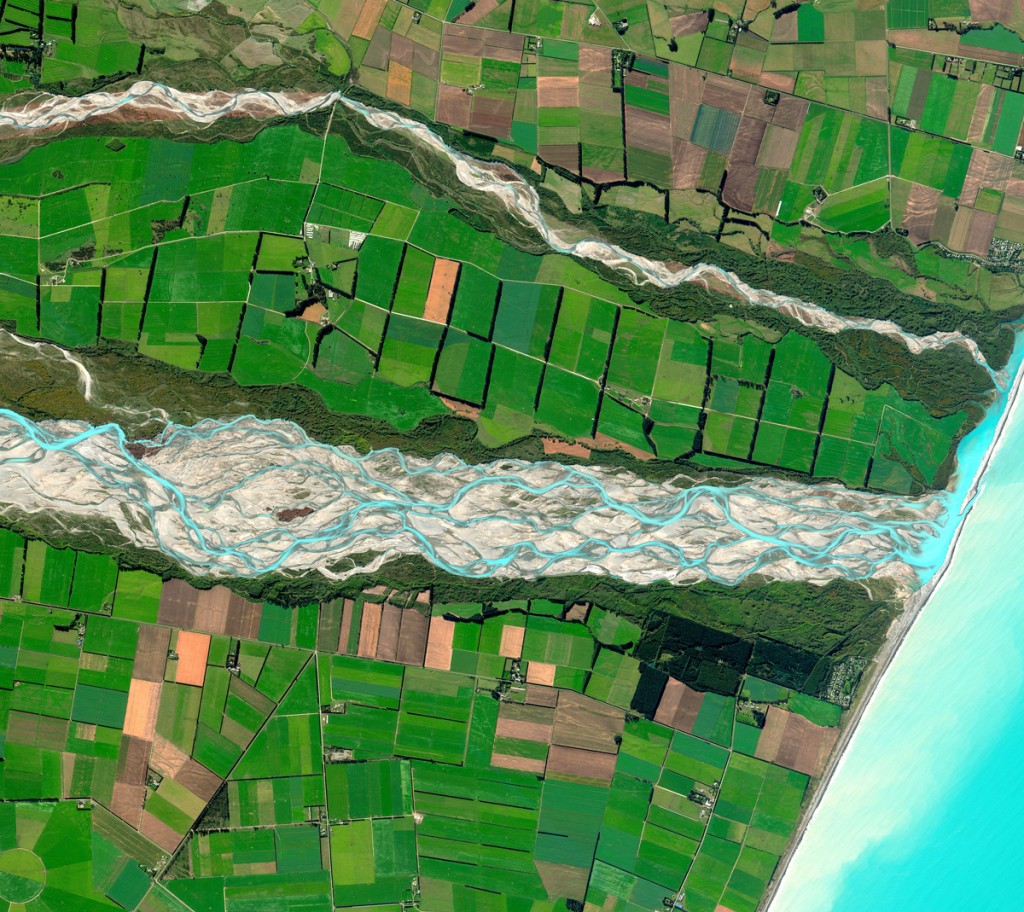
DigitalGlobe’s Top Image of 2011 Announced
And the winner is…The Rakaia River in New Zealand! The Rakaia River is in the Canterbury Plains in New Zealand’s South Island. It is…

Featured article
In this monthly article, we travel the world to check out unique, fun and sometimes a bit weird 30-centimeter (cm) color imagery samples from the WorldView constellation. In September, we looked at…

And the winner is…The Rakaia River in New Zealand! The Rakaia River is in the Canterbury Plains in New Zealand’s South Island. It is…

In keeping with my recent focus on map making (see the recent G-FAQ two-part series), ColorExplorer.com seems like the obvious choice for my Free…

Assuming you didn’t lose your plane tickets in Cork, Ireland while visiting the pubs, come along as our journey around this ‘small world’ takes…

A sleeping giant, well, a sleeping volcano may be the next potential source for energy generation. Geothermal energy developers plan to spend $43 million…
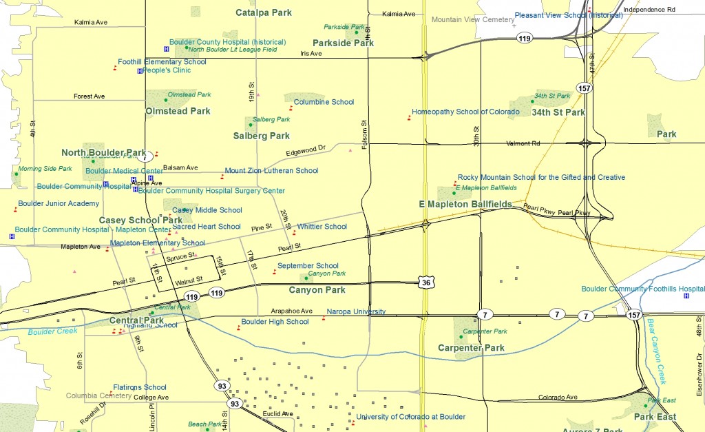
For this month’s Geospatial Frequently Asked Question (G-FAQ), I continue the February 2012 piece on what makes up ‘good’ map. As a quick recap,…

After a year in service, the German Earth observation satellite TanDEM-X, together with its twin satellite, TerraSAR-X, have completely mapped the entire land surface…
Find the imagery you need, your way.
From area of interest to delivered assets — typically within 24 hours.

Self-serve
Define your area of interest, compare results, and request pricing
— all in minutes.
Best for experienced users who know what they need.

Done for you
Share your area, timeframe, and goals
— we’ll handle the rest.
Ideal if you’re unsure which imagery is right for your project.