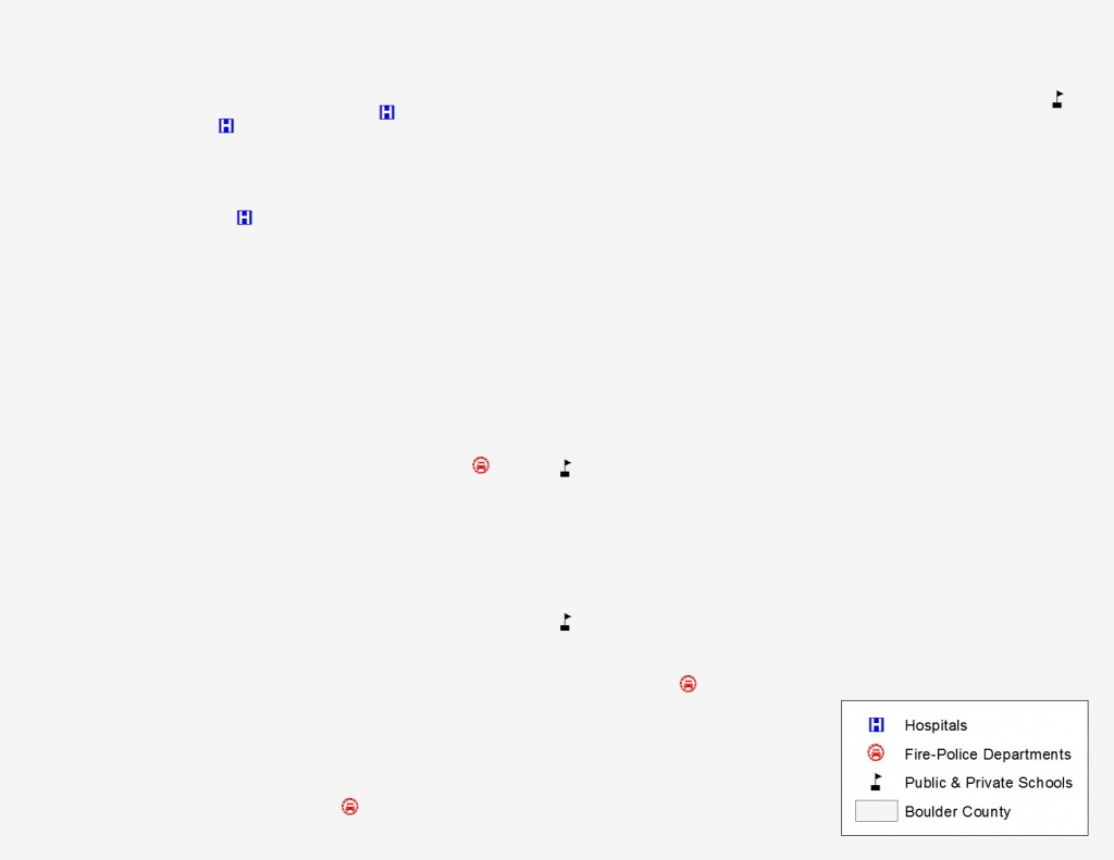
G-FAQ – What is the Difference Between a Map and Spatial Analysis?
For our first Geospatial Frequently Asked Question (G-FAQ) of the New Year, I focus on a topic that is extremely relevant with the launch…

Featured article
In this monthly article, we travel the world to check out unique, fun and sometimes a bit weird 30-centimeter (cm) color imagery samples from the WorldView constellation. In September, we looked at…

For our first Geospatial Frequently Asked Question (G-FAQ) of the New Year, I focus on a topic that is extremely relevant with the launch…

This month’s free geospatial add-on is the versatile and life-saving ET GeoWizards. We all know what a powerful tool ArcGIS is for spatial analysis,…
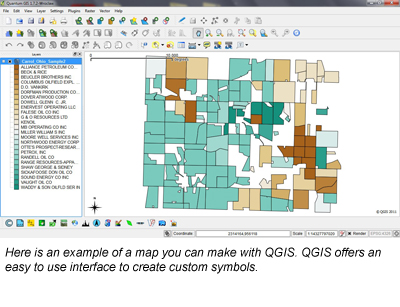
For those of us that are deeply embedded in the geospatial world, spending several thousand dollars on mapping software is a ‘no-brainer’. But that…

Last month, I started a series called Small World that looks at sister cities throughout the world. We began in Boulder, Colorado (our hometown!)…

The United States is home to some 2.5 million abandoned oil and gas wells. Once great providers of energy, these wells have been dormant…
In the late-1970s, the Department of Energy began studies on Yucca Mountain to determine if it was a suitable location for a nuclear waste…
Find the imagery you need, your way.
From area of interest to delivered assets — typically within 24 hours.
Self-serve
Define your area of interest, compare results, and request pricing
— all in minutes.
Best for experienced users who know what they need.
Done for you
Share your area, timeframe, and goals
— we’ll handle the rest.
Ideal if you’re unsure which imagery is right for your project.