
DS-EO Satellite Imagery Samples

The DS-EO Advantage
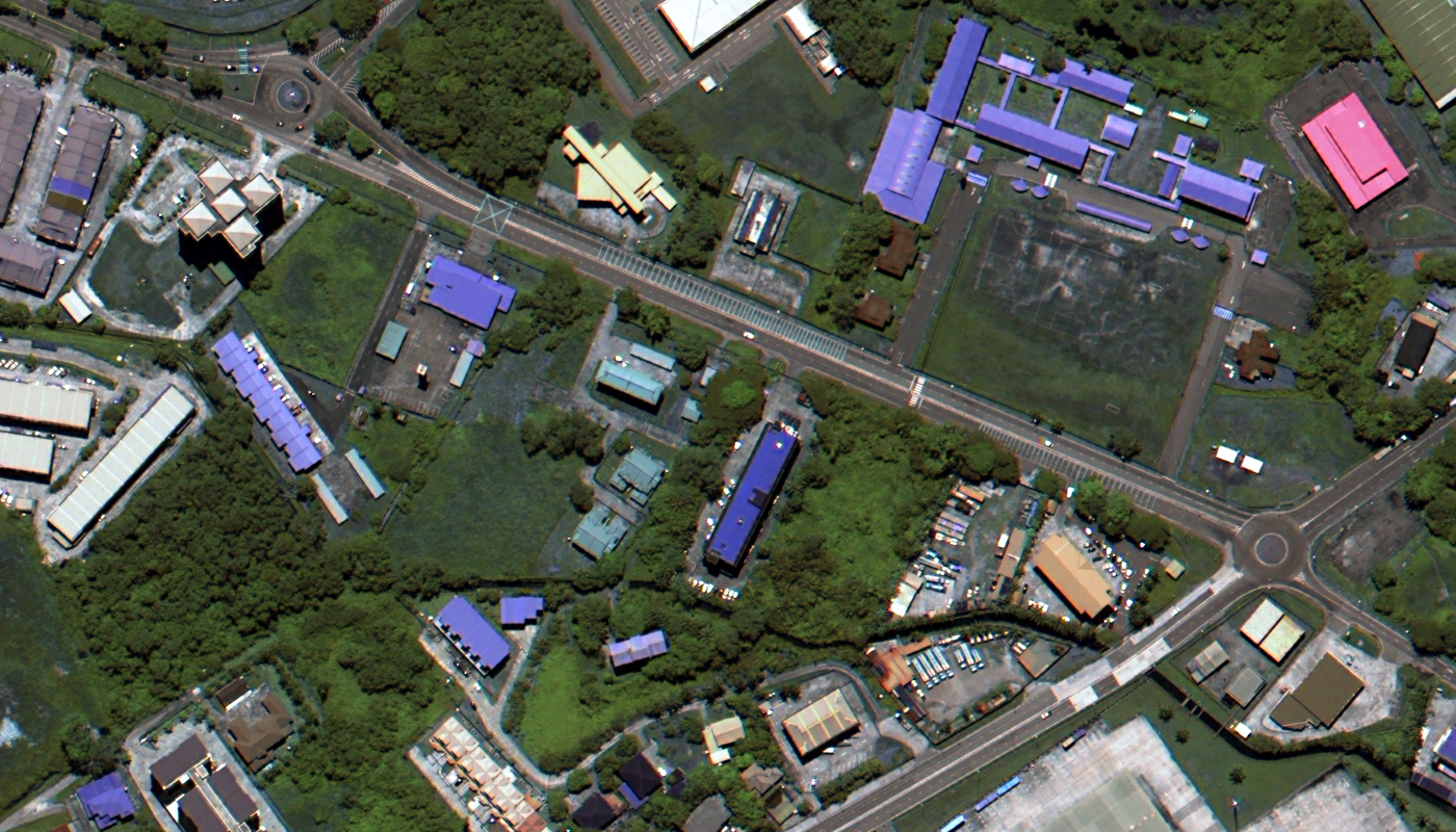
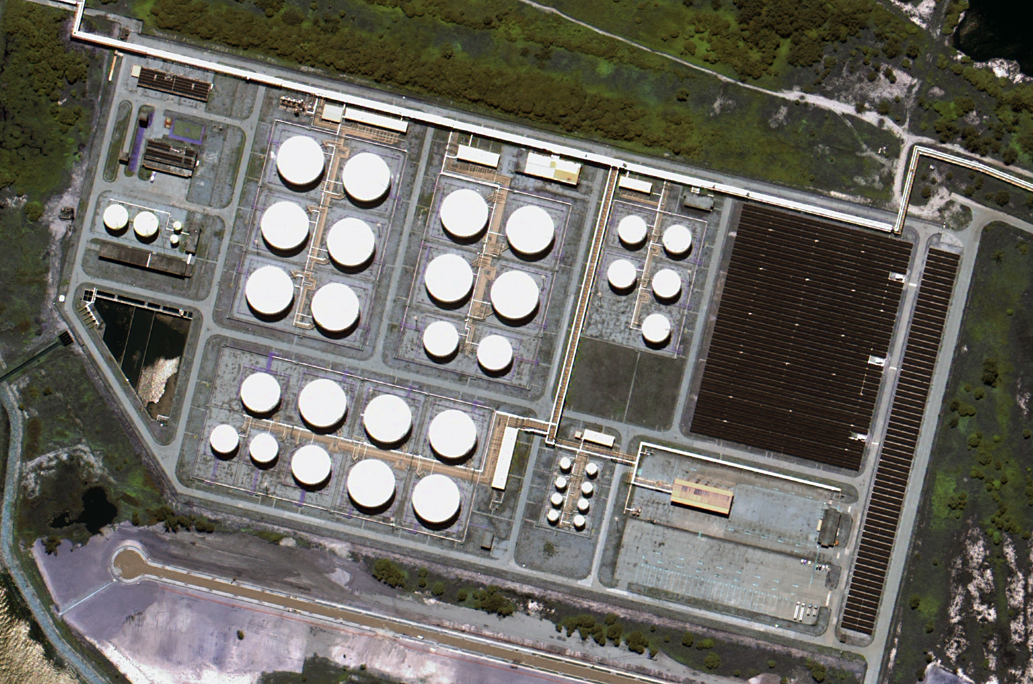
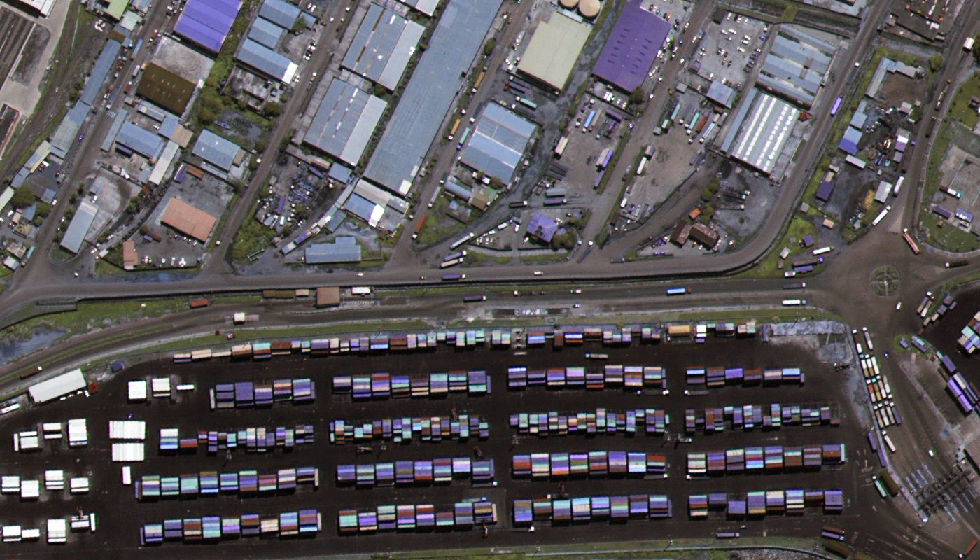
ST Engineering Geo-Insights Pte. Ltd. (Geo-Insights) serves as the exclusive provider of satellite imagery and data analytics services for a constellation of satellites, including TeLEOS-1, NeuSAR, DS-EO, and DS-SAR. DS-EO was successfully launched on June 30, 2022 from Satish Dhawan Space Center (Sriharikota Space Center), Sriharikota, Andhra Pradesh, India on an Indian Polar Satellite Launch Vehicle. DS-EO is designed to image the equatorial region, delivering high-revisit rates and high-resolution 50-centimeter (cm) satellite imagery suitable for critical applications, such as maritime security and safety, border control, disaster management, and asset monitoring.
The 50-cm DS-EO satellite system is equipped with an electro-optic, multi-spectral payload capable of producing accurate 4-band imagery. DS-EO boasts a panchromatic band wavelength range of 450 – 800 nanometers (nm) to capture broad-spectrum black and white imagery with high resolution at 0.5 meters (m). The 50-cm panchromatic band delivers exceptionally sharp images for applications requiring precise detail.
DS-EO’s 2-m multispectral imagery consists of blue (450 – 520 nm), green (520 – 590 nm), red (630 – 690 nm), and near-infrared (770 – 890 nm) bands that can assist with advanced spectral analysis. The combination of 16-bit depth, 50-cm panchromatic and four, 2-m multispectral bands allows for comprehensive analysis, from identifying objects in high detail, to understanding vegetation health and water quality. The distinct spectral ranges of the multispectral bands are specifically chosen to highlight different Earth surface characteristics, making DS-EO data an excellent choice for environmental monitoring and maritime surveillance.
Below is the least expensive DS-EO data offered. Prices increase for new collections and data processing. Note that volume discounts are available.
- Data Source: archive
- Minimum Order Size: 25 sq km (per area & date)
- Product Type: georeferenced + natural color or 4-band
- Price Per Sq Km: $10.00 (more detailed pricing can be found here)
For an exact quote, please contact our Sales Team at sales@apollomapping.com.
